Vallarsa
Vallarsa
Updated off-schedule
The provider reissued this bulletin at 15 Apr 06:00 UTC, outside the normal publication cycle.
Day Risk Profile
Avalanche Problems
Above 2000 m
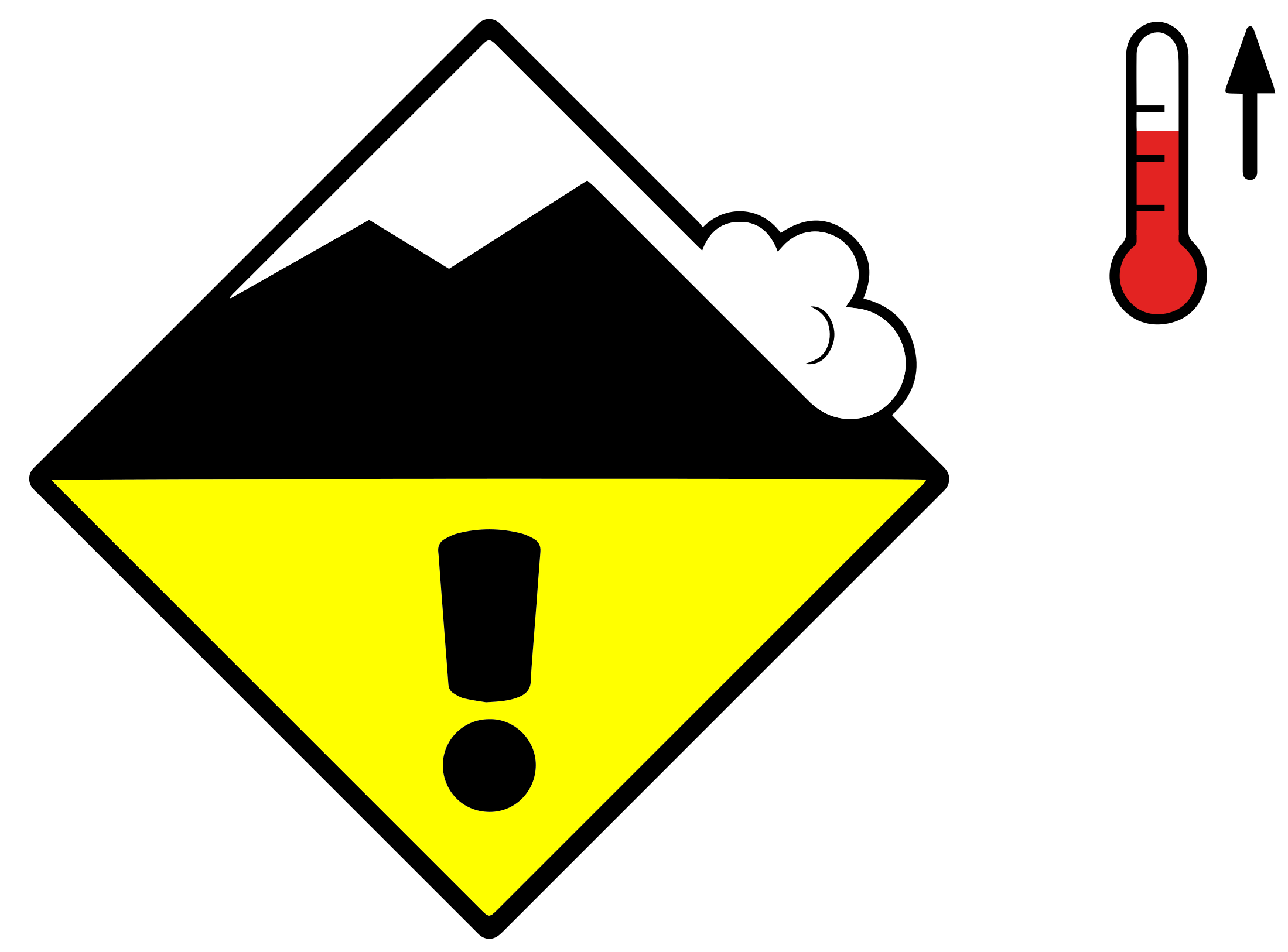 Wet snow
Slab
2
Field notes
Rolling snowballs, deep penetration when you step or ski, and small natural slides are clear signals that the Snow deposited on the ground in a multiplicity of layers.EAWS glossary is losing strength. After a clear, cold night the surface often freezes into a strong supporting Layer of hard-compacted snow resulting from a melt-freeze process or wind.EAWS glossary, and conditions are favourable in the early morning. After a warm, overcast night, the problem may be present from the start of the day. Plan early returns and watch the runout zones below you.
Avalanche Activity
Wet snow represents the main danger. As a consequence of the rain natural wet avalanches are possible.
Outlook
Decreasing avalanche danger
16 April 2026
Decrease in danger of wet avalanches as the precipitation eases.
Snowpack & Weather
Snowpack
Source
Issued
15 Apr 06:00 UTC
Valid until
15 Apr 15:00 UTC
Next update
—
Schedule
Off-schedule