How to read the avalanche bulletin
Published daily by the WSL Institute for Snow and Avalanche Research (SLF), the bulletin covers the Swiss Alps and Jura. It is an informed forecast — not a guarantee — and cannot replace an on-site assessment. This guide follows the same structure as the bulletin page itself: Day Risk Profile, Avalanche Problems, and Snowpack & Weather.
Day Risk Profile
The danger level
The bulletin uses the five-point European avalanche danger scale.
Danger increases disproportionately — the jump from level 2 to 3 is far more significant than the numbers suggest. Around 50% of avalanche fatalities occur at level 3, 30% at level 2.
| Level | Name | Characteristics |
|---|---|---|
| 1 | Low | Generally favourable. Avalanches only in isolated cases on extremely steep slopes. |
| 2 | Moderate | Mostly favourable. Avalanches possible on steep slopes with the indicated aspects and elevation. |
| 3 | Considerable | Critical. Avalanches can be easily triggered on steep slopes; natural avalanches and remote triggering possible. |
| 4 | High | Very critical. Natural avalanches likely; easily triggered on many steep slopes. |
| 5 | Very high | Extraordinary. Numerous very large natural avalanches expected. |
In Swiss bulletin data covering October 2025 to May 2026, the distribution across 2,159 bulletins was: low 20%, moderate 54%, considerable 35%, high 5%, very high <1%. (Some bulletins carry two danger levels for different times of day; these percentages reflect the all-day rating.)
Subdivisions (–, =, +)
At level 2 and above with dry-snow danger, the SLF subdivides each level into three positions: – (minus) towards the bottom, = (neutral) in the middle, and + (plus) towards the top.
This reflects the fact that avalanche danger is a continuous spectrum, not a step function. A rating of 3– sits just above the level 2/3 boundary; 3+ is just below level 4.
Subdivision only applies to dry-snow danger. It is never assigned to:
- Level 1 (low) — confirmed across all 2,159 bulletins in the dataset; not a single low rating carries a subdivision
- Wet-snow hazards — wet snow and gliding snow are not assessed with subdivisions
- The afternoon period — the later danger rating is always wet, so subdivision never appears there
A missing subdivision means "not applicable", not "neutral".
How the day evolves
Most bulletins describe a single, stable hazard picture for the whole day. In about 8% of cases, a second danger level applies in the afternoon — always wet snow or gliding snow, emerging as temperatures rise.
All bulletins where the afternoon differs from the morning involve wet snow or gliding snow. Dry hazards never appear as a later-in-the-day entry — dry snowpack problems are weather-independent within a single day, while wet hazards are driven by daytime heating.
| Pattern | Frequency | Description |
|---|---|---|
| Dry only, all day | 70% | A single dry hazard with no wet component. |
| Dry and wet simultaneously | 16% | Both dry (above an elevation) and wet (below it) are active all day — often after rain at lower elevations with new snow higher up. |
| Dry all day, wet emerging later | 8% | Morning is dominated by dry hazard; afternoon brings wet snow as temperatures rise. |
| Wet only, all day | 5% | No dry hazard — typically low-elevation regions or late spring. |
When the afternoon brings a higher danger level than the morning, timing is critical: aim to complete exposed terrain before the snow softens. On east-facing slopes this may mean before midday; on west-facing slopes it may be mid-afternoon. The bulletin cannot pin down the exact transition time — it depends on aspect, elevation, and conditions on the day.
Avalanche Problems
The bulletin assesses dry and wet avalanche hazards separately. These are fundamentally different in cause, location, and behaviour.
Dry avalanches
Caused by structural weaknesses in the snowpack — new snow loading, wind-deposited slabs, or persistent buried weak layers. Dry hazard is always present throughout the day and always applies above a minimum elevation.
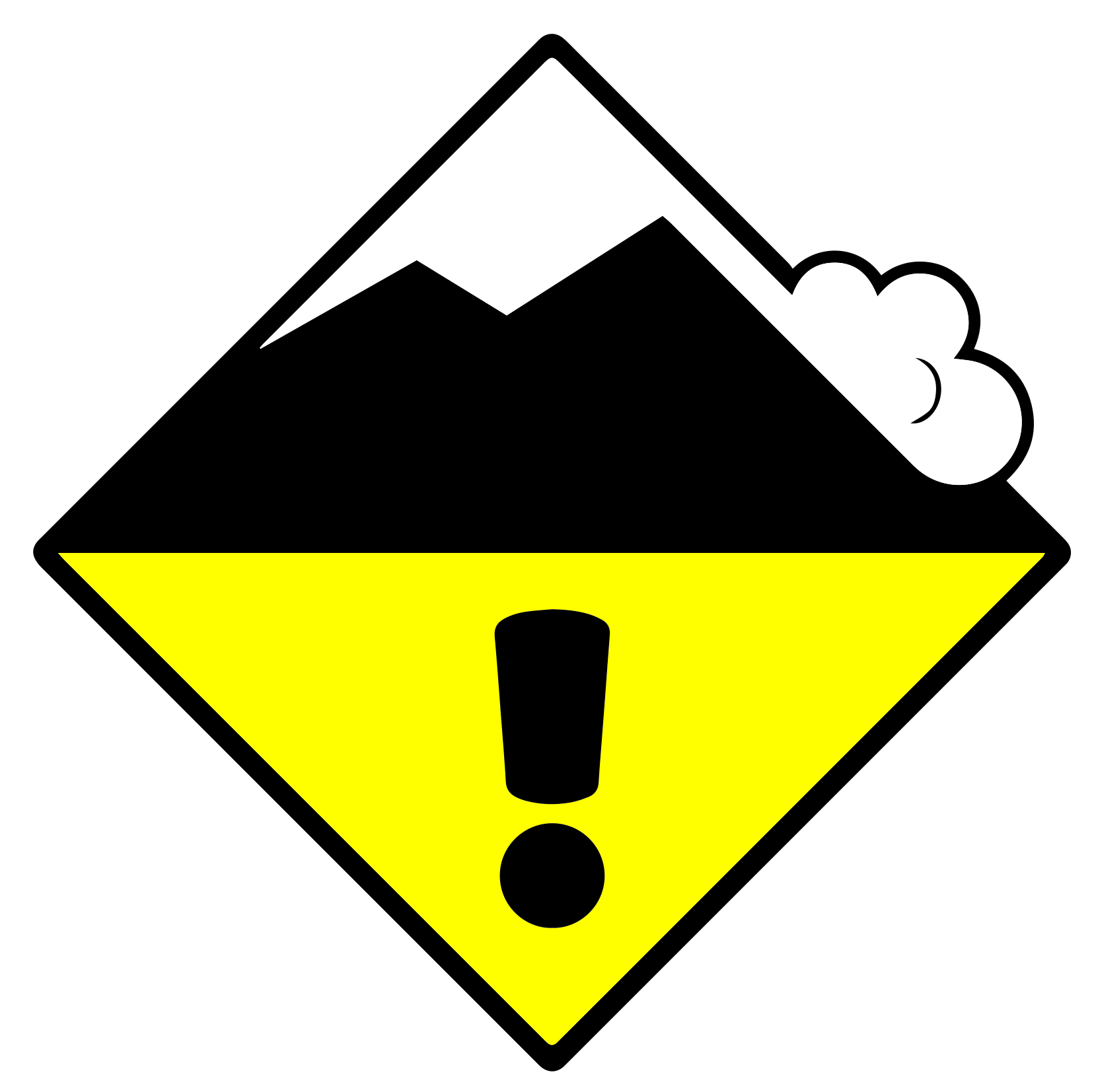 New snow
2
New snow
2
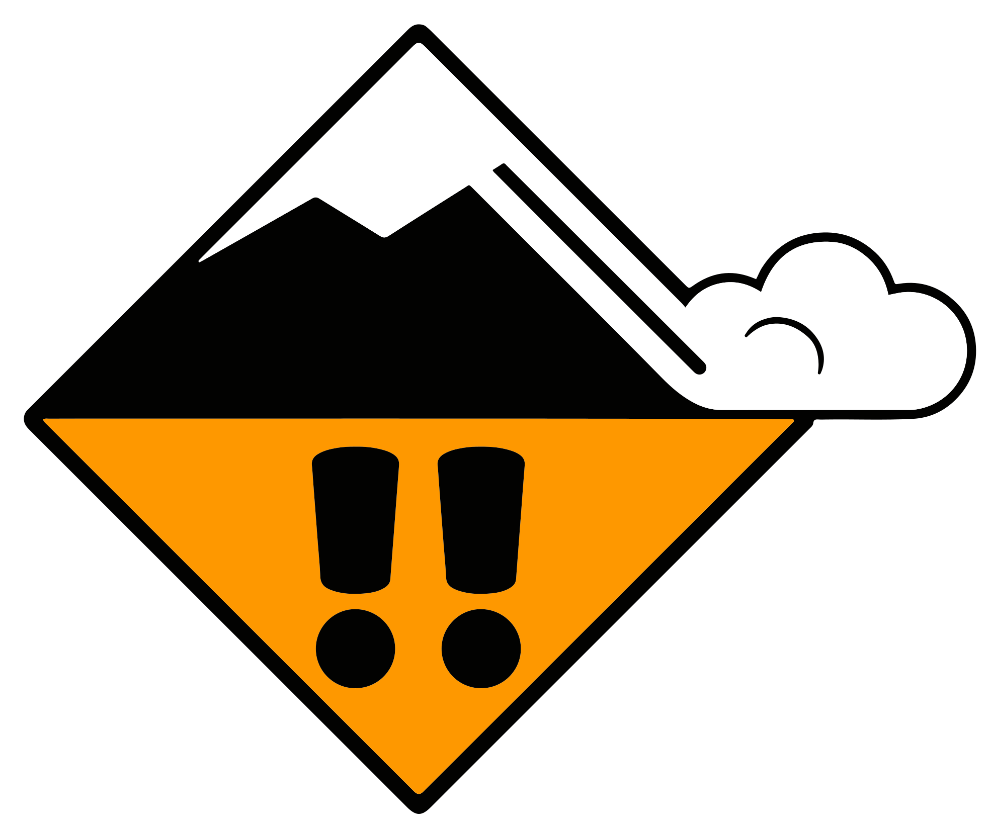 Persistent weak layers
3
Persistent weak layers
3
| Problem type | Description |
|---|---|
| New snow | Recent snowfall loading the existing snowpack. Typically widespread across all aspects. |
| Wind slab | Wind-deposited snow on leeward slopes, gullies, and bowls. Localised but often hard to spot when buried. |
| Persistent weak layers | Buried weak layers — faceted crystals, depth hoar, surface hoar — that can remain reactive for weeks. Dangerous because avalanche-prone locations are barely recognisable even to trained eyes. The dominant winter hazard. |
| No distinct avalanche problem | No clear dry hazard pattern. Not equivalent to no danger — any avalanche type remains possible. Typically used at level 1. |
Wet avalanches
Caused by liquid water weakening the snowpack, from melt or rain. The only hazard type that is time-dependent — it can emerge or intensify as the day warms.
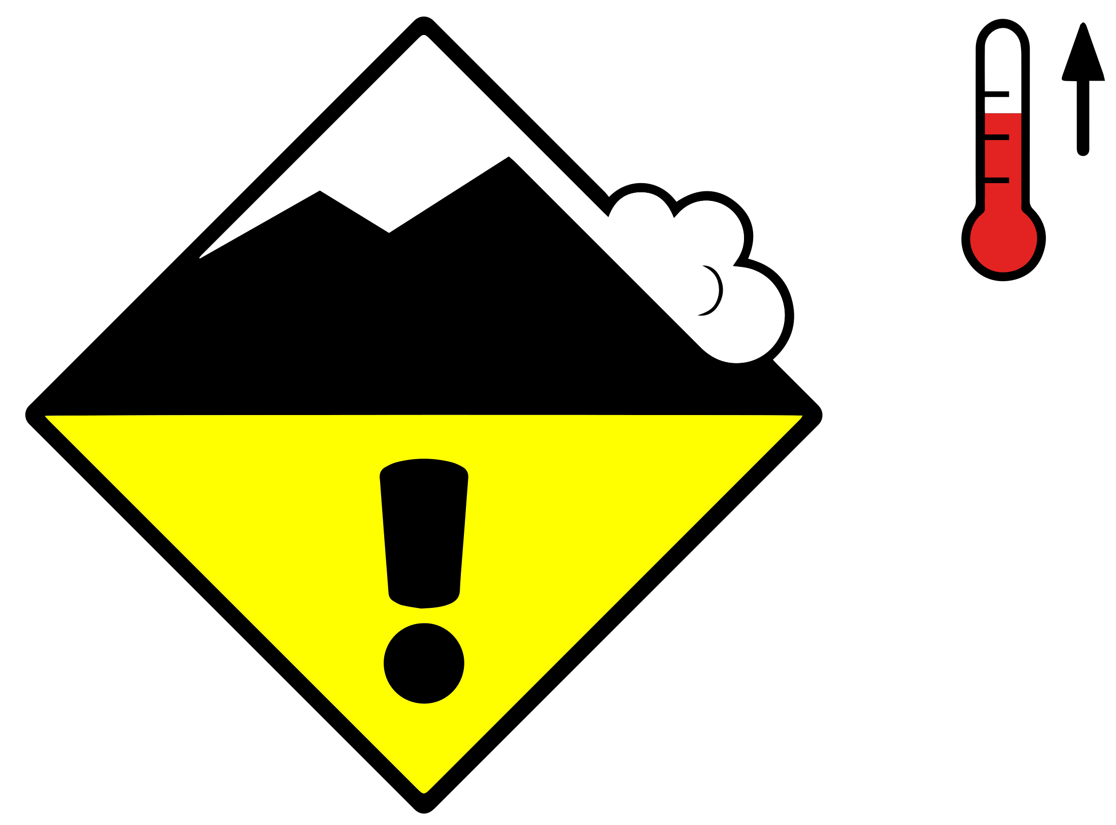 Wet snow
2
Gliding snow
2
Wet snow
2
Gliding snow
2
| Problem type | Description |
|---|---|
| Wet snow | Snowpack weakened by melt or rain. Mainly natural avalanches. Solar radiation and aspect determine which slopes are affected first. Timing is critical — east-facing slopes warm earlier than west-facing ones. |
| Gliding snow | The entire snowpack slides on a smooth substrate (grass, rock). Almost exclusively natural; human triggering is virtually impossible. Glide cracks are a warning sign but release timing is unpredictable. Can occur at any time of day, including overnight. |
Elevation and aspect
Dry hazards apply above an elevation threshold; wet hazards apply below one — the same boundary approached from opposite sides.
Wind slab
3
Wet snow
2
Elevation boundaries are approximate — conditions change gradually, not sharply. A ±200 m margin is reasonable. A slope near the boundary may sit in a transition area where either the more or less favourable situation applies.
Aspects are compass directions of affected slopes. The convention is: a north-facing slope falls to the north — you stand at the top, facing north, and the slope drops away below you. North-facing slopes receive no direct solar radiation in mid-winter; south-facing slopes receive regular sunshine year-round.
When the bulletin cites specific aspects and an elevation, the stated danger level applies to slopes satisfying both criteria. A common rule of thumb for slopes outside the stated zone: assume one danger level lower. This is a guideline, not a guarantee.
When no aspects or elevation are given for a wet hazard, the danger is region-wide and not spatially constrained.
Multiple problem types
A single problem card can cite two problem types when both contribute to the danger in the same area, at the same elevation, on the same aspects.
Wind slab + Persistent weak layers
3
They are two labels for one danger zone, not two independent hazards with different locations. When two problem types are grouped together, they always share identical spatial constraints and description text.
Multiple problem types within one card occur in around 47% of bulletins. The most common pairing is wind slab and persistent weak layers.
Snowpack & Weather
Each bulletin includes four prose sections, updated once daily in the evening. They expand on demand on the bulletin page.
- Snowpack
- Describes the layering and stability of the snowpack across the region. Explains why the danger is as it is. Mentions observed avalanche activity. Most directly useful for planning.
- Weather review
- Summarises what actually happened in the preceding period. Provides context for why the snowpack is in its current state.
- Weather forecast
- Covers the next 24 hours: fresh snow amounts, temperature, wind. The danger assessment is built on this forecast; if actual weather deviates, the danger may differ.
- Outlook
- Indicative assessment for the two days after the bulletin's validity period. Less detailed but useful for multi-day planning.
Limitations
The bulletin is a regional forecast. It cannot assess individual slopes — it can only indicate which types of terrain (aspect, elevation, steepness) carry the indicated danger. Local conditions always require on-site assessment.
Boundaries between regions, elevation bands, and aspects are gradual, not sharp. A slope near the boundary of the stated zone may sit in a transition area where either the more or less favourable situation applies.
The bulletin applies exclusively to unsecured terrain away from prepared pistes and marked ski runs.
Data findings in this document are derived from analysis of 2,159 Swiss avalanche bulletins (October 2025 – May 2026) from the SLF CAAML API. Definitions and qualitative descriptions are drawn from the SLF Avalanche Bulletin Interpretation Guide, Edition November 2025.