Alpes du Nord
Belledonne
Day Risk Profile
Avalanche Problems
 Wind slab
4
Field notes
Look for fresh snow deposits on Slope facing downwind/ wind sheltered aspect. Snow deposits can attain several times average snow depth.EAWS glossary, in Usually a steep, elongated, eroded trench; typically prone to snowdrift accumulation.EAWS glossary and Rounded or elongated concavity; typically tending to accumulate snowdrift.EAWS glossary, and behind ridgelines and abrupt changes in terrain — these are where the wind has loaded the snow into slabs that are easy to trigger. Recent avalanches, shooting cracks under your weight, and Distinctive noise (resembling a “whumpf” sound) occurring when a weak layer beneath a slab collapses. The air of the weak layer is forced outside the snowpack, with the resulting whumpf sound being heard. The sound usually indicates an unstable situation and can be accompanied by surface cracking. A whumpf is a clear avalanche alert.EAWS glossary sounds are clear confirmations of the problem. The safest move is to avoid wind-loaded terrain entirely. NB wind signs alone don't always mean an avalanche problem exists, and the age of drifted snow is hard to judge.
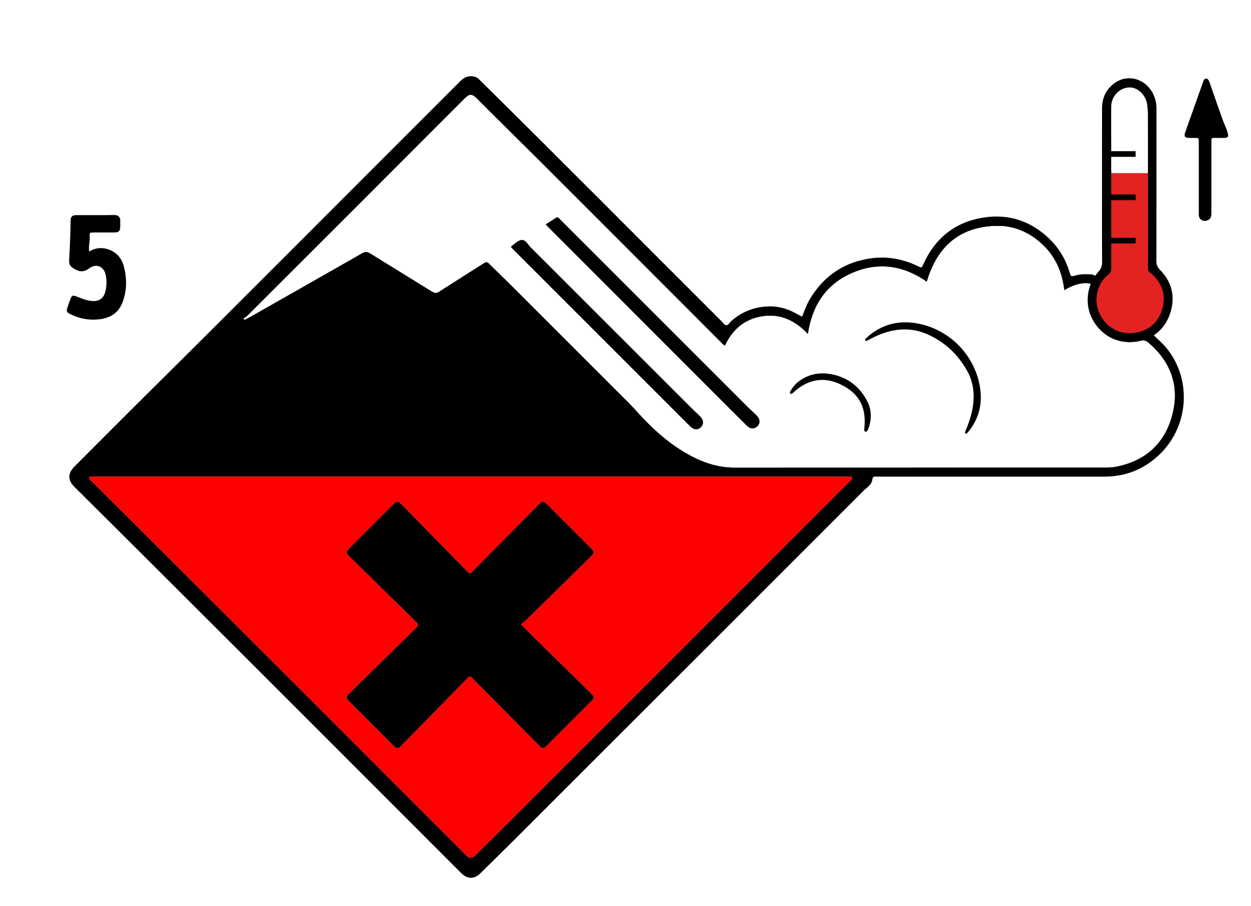 Wet snow
4
Field notes
Rolling snowballs, deep penetration when you step or ski, and small natural slides are clear signals that the Snow deposited on the ground in a multiplicity of layers.EAWS glossary is losing strength. After a clear, cold night the surface often freezes into a strong supporting Layer of hard-compacted snow resulting from a melt-freeze process or wind.EAWS glossary, and conditions are favourable in the early morning. After a warm, overcast night, the problem may be present from the start of the day. Plan early returns and watch the runout zones below you.
Avalanche Activity
FORT RISQUE ACCIDENTEL EN ALTITUDE. LOCALEMENT, DES AVALANCHES SPONTANEES AU SOLEIL, DEVALANT DE LONGS COULOIRS...
Mercredi avec un redoux relatif en mi-journée/l'après-midi, on peut s'attendre à de nombreuses avalanches de surface de taille moyenne, notamment près des rochers.
Localement ces avalanches peuvent prendre de l'ampleur (pentes récemment chargées par le vent de Nord-Ouest). Une avalanche pourrait dévaler un long A steep gully usually adjacent to ridgelines, flanked by rocks, often containing rubble/scree; tends to accumulate drifted snow.EAWS glossary avec gros
dépôt jusqu'en moyenne montagne?... Enfin dans certaines pentes herbeuses de modeste altitude, on peut redouter une avalanche de fond (glissement au terrain), plutôt le
soir.
En haute montagne, les récentes épaisses plaques (formées par flux de Nord-Ouest) ne sont pas bien stabilisées. Ce risque accidentel est aussi présent loin des crêtes, au
passage d'une personne... Par déclenchement en cascade une très grande avalanche n'est pas exclue en contrebas (configuration locale aggravante : présence de couches
fragiles enfouies en versants froids).
Sous 2000/2200m environ les sous couches se sont un peu tassées, risque accidentel a priori plus localisé, près des crêtes. En pentes ensoleillées, risque de départ humide
ponctuel sous les skis...
Mercredi soir le vent de Sud-Sud-Ouest va se lever en altitude et formera de nouvelles plaques bien instables !
Outlook
Constant avalanche danger
Snowpack & Weather
Snowpack
Situation avalancheuse typique
neige ventée neige humide
Importantes quantités de neige fraîche/récente très peu stabilisée en altitude avec parfois un risque de déclenchement à distance. Noter aussi un redoux probable lors
d'éclaircies, risque d'avalanche spontanée aussi vers les rochers, dans les A steep gully usually adjacent to ridgelines, flanked by rocks, often containing rubble/scree; tends to accumulate drifted snow.EAWS glossary...
Départs spontanés :
Mercredi avec un redoux relatif en mi-journée/l'après-midi, on peut s'attendre à de nombreuses avalanches de surface de taille moyenne, notamment près des rochers.
Localement ces avalanches peuvent prendre de l'ampleur (pentes récemment chargées par le vent de Nord-Ouest). Une avalanche pourrait dévaler un long A steep gully usually adjacent to ridgelines, flanked by rocks, often containing rubble/scree; tends to accumulate drifted snow.EAWS glossary avec gros
dépôt jusqu'en moyenne montagne?... Enfin dans certaines pentes herbeuses de modeste altitude, on peut redouter une avalanche de fond (glissement au terrain), plutôt le
soir.
Déclenchements provoqués :
En haute montagne, les récentes épaisses plaques (formées par flux de Nord-Ouest) ne sont pas bien stabilisées. Ce risque accidentel est aussi présent loin des crêtes, au
passage d'une personne... Par déclenchement en cascade une très grande avalanche n'est pas exclue en contrebas (configuration locale aggravante : présence de couches
fragiles enfouies en versants froids).
Sous 2000/2200m environ les sous couches se sont un peu tassées, risque accidentel a priori plus localisé, près des crêtes. En pentes ensoleillées, risque de départ humide
ponctuel sous les skis...
Mercredi soir le vent de Sud-Sud-Ouest va se lever en altitude et formera de nouvelles plaques bien instables !
Outlook
près-midi, rafales de Sud mercredi soir, avant une
0 m 1 800 m
0 m 2 200 m 2 300 m
km/h 20 km/h 75 km/h
km/h 40 km/h 90 km/h
Tendance du jeudi 19 février
Indice de risque fort