Alpes du Nord
Beaufortain
Day Risk Profile
Avalanche Problems
 New snow
4
Field notes
Easy to spot - the snow is fresh. Look at recent avalanche activity in similar terrain, and pay attention to how much new snow has fallen in the last three days. Critical loading depends on temperature, wind, and what was on the surface before the storm. SLF advises waiting until the Snow deposited on the ground in a multiplicity of layers.EAWS glossary has had time to bond before committing to steep terrain in fresh snow.
 Wet snow
4
Field notes
Rolling snowballs, deep penetration when you step or ski, and small natural slides are clear signals that the Snow deposited on the ground in a multiplicity of layers.EAWS glossary is losing strength. After a clear, cold night the surface often freezes into a strong supporting Layer of hard-compacted snow resulting from a melt-freeze process or wind.EAWS glossary, and conditions are favourable in the early morning. After a warm, overcast night, the problem may be present from the start of the day. Plan early returns and watch the runout zones below you.
Avalanche Activity
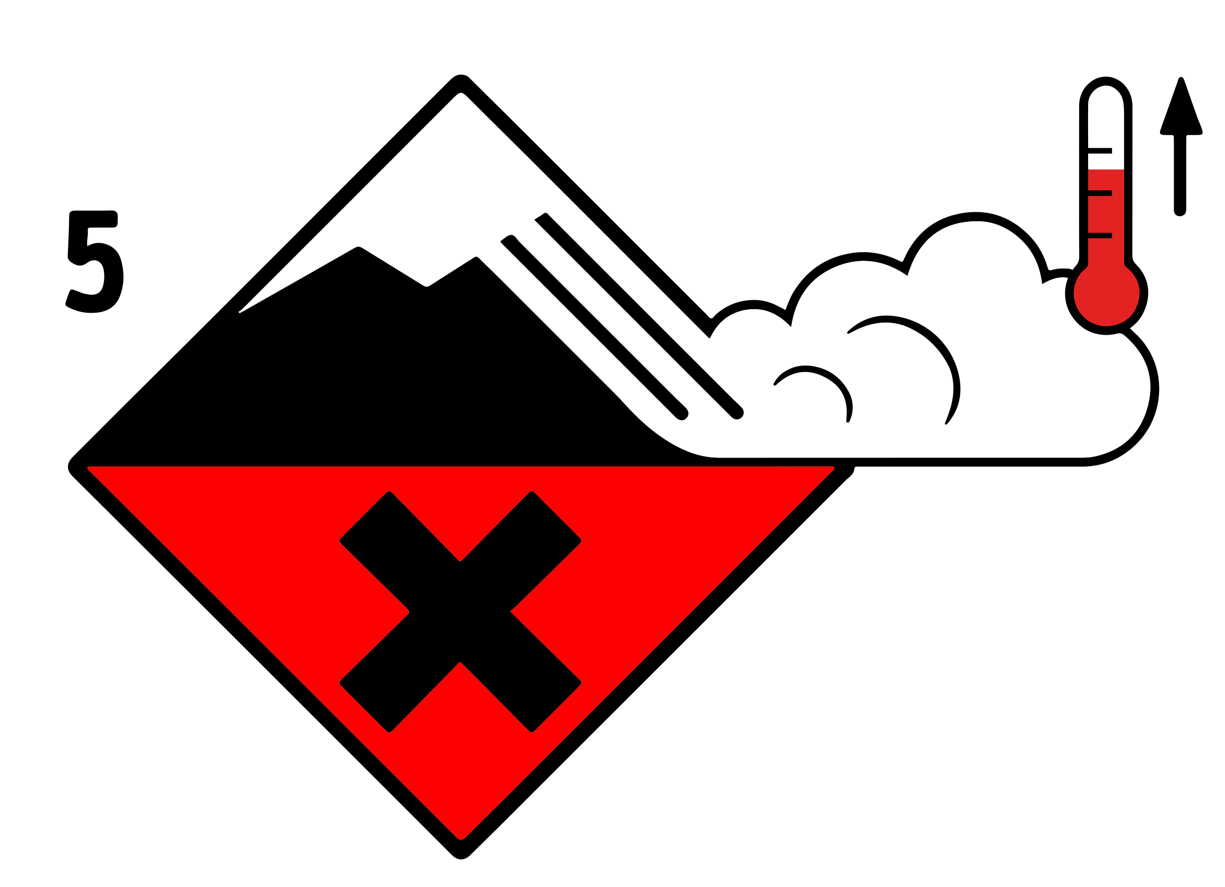
FORTE ACTIVITÉ AVALANCHEUSE NATURELLE ET FORT RISQUE ACCIDENTEL.
Outlook
Constant avalanche danger
Snowpack & Weather
Snowpack
Situation avalancheuse typique
neige fraîche neige humide
Dans la nuit de mardi à mercredi : le redoux pluvieux va engendrer des avalanches naturelles de neige humide sous 1800 m à l'Ouest du massif, sensiblement plus bas à l'Est
(redoux moins marqué). En départ ponctuel (en poire) ou en plaque, les avalanches engendrées sont de taille 1 ou 2 (petite à moyenne). Avec l'abaissement de la limite pluie
neige vers 1400 m en journée, le risque naturelle en neige humide diminue.
mercredi journée : nombreuses plaques dans la neige fraîche, en tous versants et au-delà de 1800m. Elles se déclenchement aussi bien naturellement qu'accidentellement,
surtout à l'approche des crêtes où le vent d'Ouest transporte en continue la neige fraîchement tombée. Avec ~60 cm de neige fraîche attendue en moyenne en fin de journée,
les avalanches sont souvent de taille 2, localement de taille 3 (grande) quand la topographie s'y prête.
Outlook
Tendance du jeudi 12 février
Indice de risque très fort
ici à jeudi soir, le Beaufortain pourrait
cevoir entre 120 et 150 cm de neige fraîche.
activité naturelle attendue en conséquence
vient remarquable. Le risque maximal est
visagé pour la journée de jeudi.