Showing Sat 21 Nov 2026 Back to today

Lower Valais

Génépi

Sat 21 Nov

Avalanche Problems

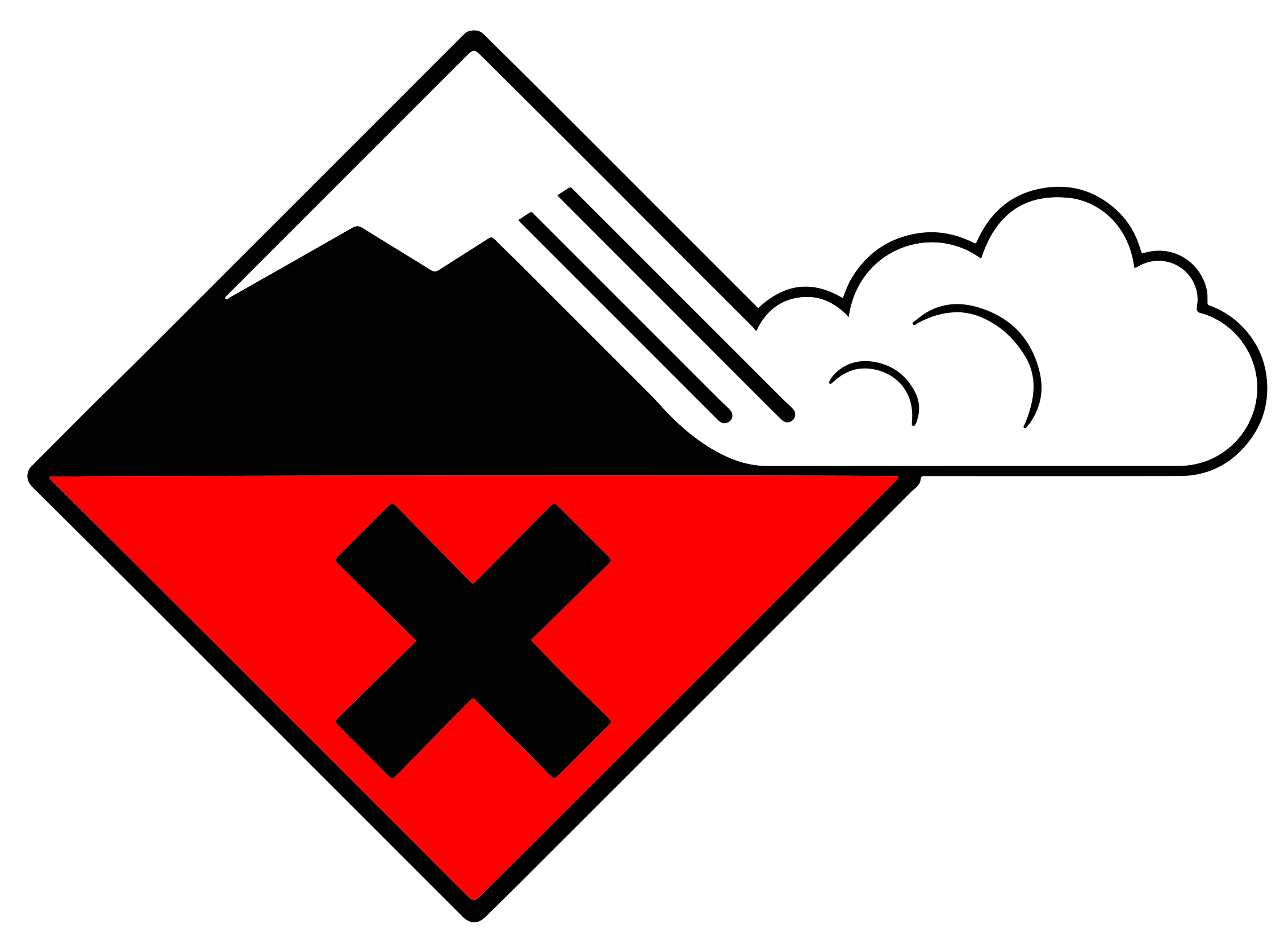
High (4-), lower end of the band Dry avalanches · all day
Dry snow level 4 New snow 4-
All but S, SW above 2,200 m
A lot of snow fell in the last few days. As a consequence of the ceasing of precipitation only isolated natural avalanches are to be expected. They can be released in the new snow and wind slab layers. In isolated cases avalanches can also be triggered in the Snow layers deposited from earlier precipitation, prior to fresh fallen snow. Old snow layers consist of metamorphosed snow crystals.EAWS glossary, especially on north and east facing slopes above approximately 2600 m. In the typical avalanche paths the avalanches can in isolated cases reach very large size and endanger transportation routes situated at relatively high altitudes. The danger of natural avalanches will decrease during the day. Avalanches can as before be released by a single winter sport participant. The conditions are critical for backcountry touring.
Field notes

Easy to spot - the snow is fresh. Look at recent avalanche activity in similar terrain, and pay attention to how much new snow has fallen in the last three days. Critical loading depends on temperature, wind, and what was on the surface before the storm. SLF advises waiting until the Snow deposited on the ground in a multiplicity of layers.EAWS glossary has had time to bond before committing to steep terrain in fresh snow.

Source: SLF Avalanche Bulletin Interpretation Guide

Snowpack & Weather

Snowpack
Over the last 5 days, 100 to 150 cm of snow fell over a wide area above approximately 2200 m, and snowfall will continue until Saturday morning. With strong westerly wind, the large wind slabs will grow somewhat further. As the snowfall ends, the large amounts of new and wind-drifted snow will gradually stabilize from Saturday. On north-facing and east-facing slopes above approximately 2600 m, there is in some places coarse-grained old snow at the snow base. Due to the thick covering by new and wind-drifted snow, the probability of fractures in these deep layers is decreasing rapidly.
Weather review

18.11. 17:00 – 19.11. 17:00

  • Snowfall limit: 1300 to 1860 m
  • Maximum temperature at 2000 m: 3.9 °C
  • Fresh snow at 2000 m: 9 cm
  • Fresh snow at 3000 m: 23 cm
  • Wind speed: 62 km/h
  • Wind direction: W

19.11. 17:00 – 20.11. 17:00

  • Snowfall limit: 1240 to 1470 m
  • Maximum temperature at 2000 m: -0.3 °C
  • Fresh snow at 2000 m: 18 cm
  • Fresh snow at 3000 m: 44 cm
  • Wind speed: 57 km/h
  • Wind direction: W
Weather forecast

20.11. 17:00 – 21.11. 17:00

  • Snowfall limit: 1250 to 1480 m
  • Maximum temperature at 2000 m: 0.4 °C
  • Fresh snow at 2000 m: 5 cm
  • Fresh snow at 3000 m: 20 cm
  • Wind speed: 60 km/h
  • Wind direction: W
Outlook

Dry avalanches

As the day progresses as a consequence of the precipitation there will be an increase in the avalanche danger. In the afternoon more frequent natural avalanches are to be expected. Backcountry touring calls for experience in the assessment of avalanche danger and caution.

Wet-snow avalanches

As a consequence of the rain wet small and medium sized avalanches are to be expected from the late morning. This applies in all Direction in which a slope faces as indicated by compass direction of the fall line; i.e. a north slope faces in a northerly direction.EAWS glossary in particular below approximately 2000 m.

Source

SLF

Issued

21 Nov 07:00 UTC

Valid until

21 Nov 16:00 UTC

Next update

21 Nov 16:00 UTC

See this region on the map