Churfirsten and Rhine Valley
Appenzeller Alpen

Manageable day. Moderate, with wet snow at the surface — the evidence is there to read before you commit to a slope.
Day Risk Profile
Avalanche Problems
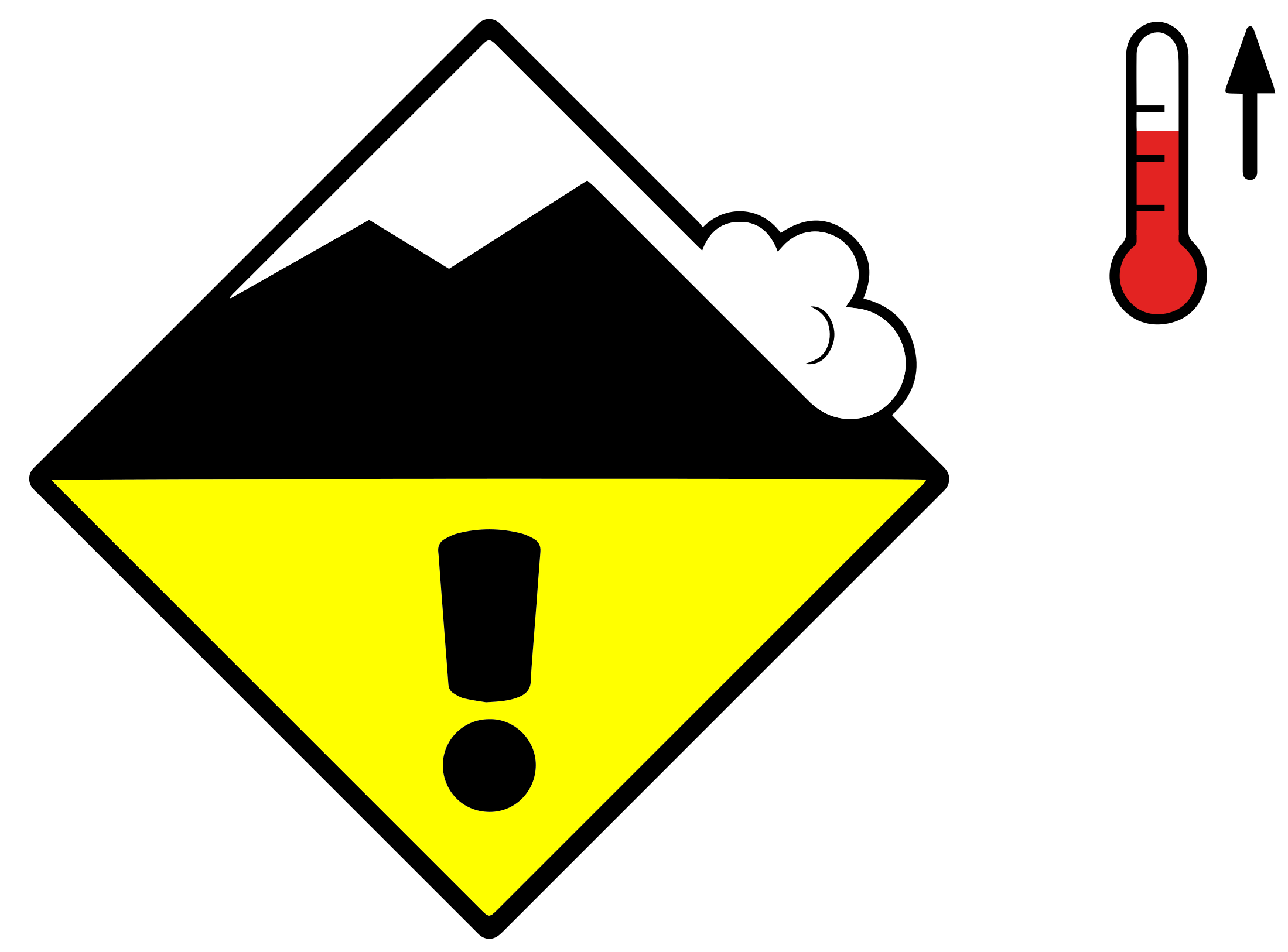 Wet snow
2
Field notes
Rolling snowballs, deep penetration when you step or ski, and small natural slides are clear signals that the Snow deposited on the ground in a multiplicity of layers.EAWS glossary is losing strength. After a clear, cold night the surface often freezes into a strong supporting Layer of hard-compacted snow resulting from a melt-freeze process or wind.EAWS glossary, and conditions are favourable in the early morning. After a warm, overcast night, the problem may be present from the start of the day. Plan early returns and watch the runout zones below you.
Snowpack & Weather
Snowpack
Snowpack layer in which the crystals are poorly bonded and the layer has the potential to fail. Typical crystals in dry weak layers causing avalanches are : precipitation particles; surface hoar; faceted crystals; hollow crystals; graupel. Generally >1mm in size, loose grains with few bonds Wet weak layers can be formed by all snow crystal/grain types.EAWS glossary in the upper part of the Snow deposited on the ground in a multiplicity of layers.EAWS glossary can in some cases still be triggered by human activity. Such avalanche-prone locations are to be found on still dry north-facing slopes at high altitudes and on sunny slopes that are being moistened for the first time. The likelihood of triggering increases during the course of each day. Deeper in the snowpack there are faceted layers, which in isolated cases are still prone to triggering on slopes with little snow that are little used, particularly in central Valais and in Grisons.
Especially north of a line from the Rhone to the Rhine, isolated gliding avalanches are still to be expected. These are also usually triggered during the course of the day.
Weather review for Thursday
After a clear night, it was sunny and mild with a zero-degree level at 3000 m.
Fresh snow
-
Temperature
At midday at 2000 m, around +7 °C in the north and +10 °C in the south
Wind
Light to moderate from the northwest
Weather forecast to Friday
The night will be partly clear. During the day, it will be partly sunny in the west and in the south. On the northern flank of the Alps from the eastern Bernese Oberland to Liechtenstein and in northern Grisons, it will be heavily overcast during the day, and a small amount of snow will fall above 2200 m.
Fresh snow
Up to 5 cm of fresh snow is expected on the central and eastern parts of the northern flank of the Alps and in northern Grisons.
Temperature
At midday at 2000 m between +7 °C in the southwest and +3 °C in the northeast
Wind
Moderate, sometimes strong at high altitudes from northwesterly directions
Outlook
Saturday
After a quite clear night, it will be sunny and mild. The zero-degree level will increase back up to 3000 m and the wind will mostly be light.
The danger of dry avalanches will decrease. Due to the somewhat reduced nocturnal radiation, the danger of wet and gliding avalanches will increase rapidly as the day progresses.
Sunday
In Grisons, the night will be quite clear and the day partly sunny. In the other regions, it will be mostly overcast during both the night and the day. In the afternoon, precipitation will set in in the west, with a snowfall level at around 2500 m. There will mostly be a light southerly wind.
The risk of dry avalanches will not change significantly. In the west, moist avalanches are possible in the afternoon with the rain. Elsewhere, the danger of wet avalanches will no longer increase as sharply as on previous days.