Churfirsten and Rhine Valley
Appenzeller Alpen

Hard-to-read day. Moderate, with gliding snow buried — the slope that fails will look like the one that held.
Day Risk Profile
Avalanche Problems
 Gliding snow
2
Field notes
Almost impossible to predict precisely, even when the warning signs are visible. A crack visible on the snowpack surface formed by snow-gliding on steep, and particularly grass-covered slopes. Areas below slopes with visible glide cracks should be avoided whenever possible due to threat of gliding sluffs or avalanches.EAWS glossary — gaps that open in the Snow deposited on the ground in a multiplicity of layers.EAWS glossary down to the ground — are often precursors to release, but they don't tell you when. A glide avalanche can release minutes after the cracks appear, or weeks later, or not at all. Some release without any visible warning. Avoid lingering anywhere near glide cracks: above them, alongside them, or below in the runout.
Snowpack & Weather
Snowpack
North of a line from the Rhône to the Rhine and in the extreme west of Lower Valais, 2 to 3.5 m of snow have fallen over the last two weeks. As a result, Snowpack layer in which the crystals are poorly bonded and the layer has the potential to fail. Typical crystals in dry weak layers causing avalanches are : precipitation particles; surface hoar; faceted crystals; hollow crystals; graupel. Generally >1mm in size, loose grains with few bonds Wet weak layers can be formed by all snow crystal/grain types.EAWS glossary in the Snow layers deposited from earlier precipitation, prior to fresh fallen snow. Old snow layers consist of metamorphosed snow crystals.EAWS glossary are thickly covered and can only rarely be triggered by human activity. However, avalanches may become very large.
South of the line from the Rhône to the Rhine, the persistent Snowpack layer in which the crystals are poorly bonded and the layer has the potential to fail. Typical crystals in dry weak layers causing avalanches are : precipitation particles; surface hoar; faceted crystals; hollow crystals; graupel. Generally >1mm in size, loose grains with few bonds Wet weak layers can be formed by all snow crystal/grain types.EAWS glossary are still pronounced. Although there is not quite as much snow here, avalanches can still become large or even very large. In Grisons, avalanche-prone locations are still common. Distinctive noise (resembling a “whumpf” sound) occurring when a weak layer beneath a slab collapses. The air of the weak layer is forced outside the snowpack, with the resulting whumpf sound being heard. The sound usually indicates an unstable situation and can be accompanied by surface cracking. A whumpf is a clear avalanche alert.EAWS glossary sounds and remote triggering are typical. In southern Valais, the significant weak layers in the lower part of the Snow deposited on the ground in a multiplicity of layers.EAWS glossary are mostly rather more thickly covered. Avalanche-prone locations where avalanches can be triggered in the weak Snow layers deposited from earlier precipitation, prior to fresh fallen snow. Old snow layers consist of metamorphosed snow crystals.EAWS glossary are therefore less frequent and mainly located in areas with little snow.
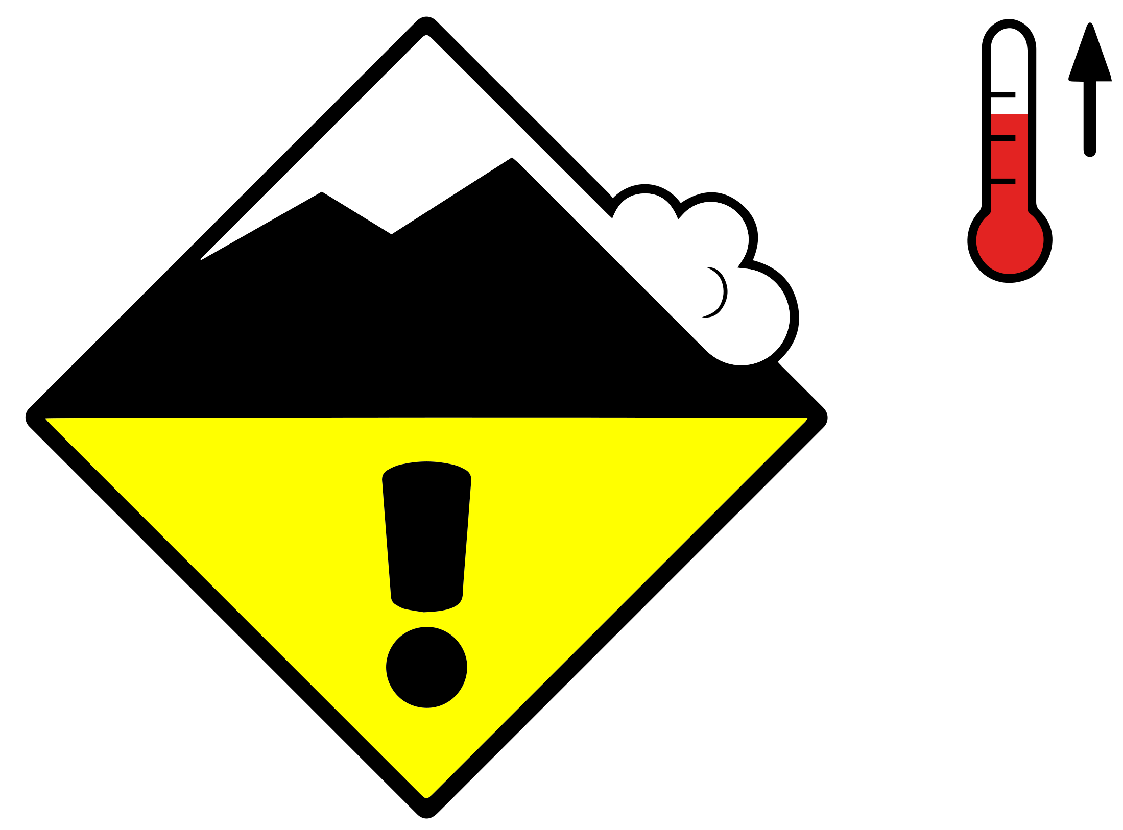
With the rise in temperature, the likelihood of dry avalanches being triggered increases slightly during the day. In addition, gliding avalanches are to be expected on steep grassy slopes and wet avalanches on sunny slopes.
Weather review for Tuesday
It was quite sunny in the far west, in Valais and in the south. In the other regions, it was very cloudy and there was some precipitation, mainly in the north-east. The snowfall level rose to around 2000 m.
Fresh snow
From Monday afternoon to Tuesday afternoon, the following amounts of fresh snow fell above approximately 2300 m:
- Eastern part of the northern flank of the Alps, northern Grisons, Lower Engadine: 10 to 15 cm
- Less elsewhere, dry in the south
Temperature
At midday at 2000 m, between a mild +6 °C in the southwest and +2 °C in the northeast
Wind
There was a northwesterly wind:
- Light to moderate in the west and south
- Strong and locally stormy at high altitudes in the east and in Grisons
Weather forecast to Wednesday
After a clear night, it will be sunny in the mountains and very mild with a zero-degree level at 3200 m.
Fresh snow
-
Temperature
At midday at 2000 m, between +7 °C in the north and +5 °C in the south
Wind
Light
Outlook to Friday
Clear nights will be followed by sunny days. With a zero-degree level at almost 3000 m, it continues to be mild. The westerly wind will be light, becoming moderate at times on Friday.
The danger of dry avalanches will decrease, but only very slowly in southern Valais, Ticino and Grisons due to the pronounced Snowpack layer in which the crystals are poorly bonded and the layer has the potential to fail. Typical crystals in dry weak layers causing avalanches are : precipitation particles; surface hoar; faceted crystals; hollow crystals; graupel. Generally >1mm in size, loose grains with few bonds Wet weak layers can be formed by all snow crystal/grain types.EAWS glossary. Gliding avalanches are still to be expected, as well as wet avalanches on sunny slopes. These may become large in the west and north.