Bernese Oberland
Adelboden

Widespread danger. Deteriorating: low this morning, considerable by afternoon, with wet snow at the surface — turn round before it gets there.
Day Risk Profile
Avalanche Problems
 No distinct problem
1
Field notes
SLF uses this label when no single problem dominates the assessment, often on lower-danger days. It doesn't mean conditions are safe: any avalanche type is still possible, and normal caution applies. On stable days this is usually a signal to enjoy the mountains with general awareness; on less-stable days where the assessment is still inconclusive, it's a signal to be cautious specifically because there's no clear pattern to follow.
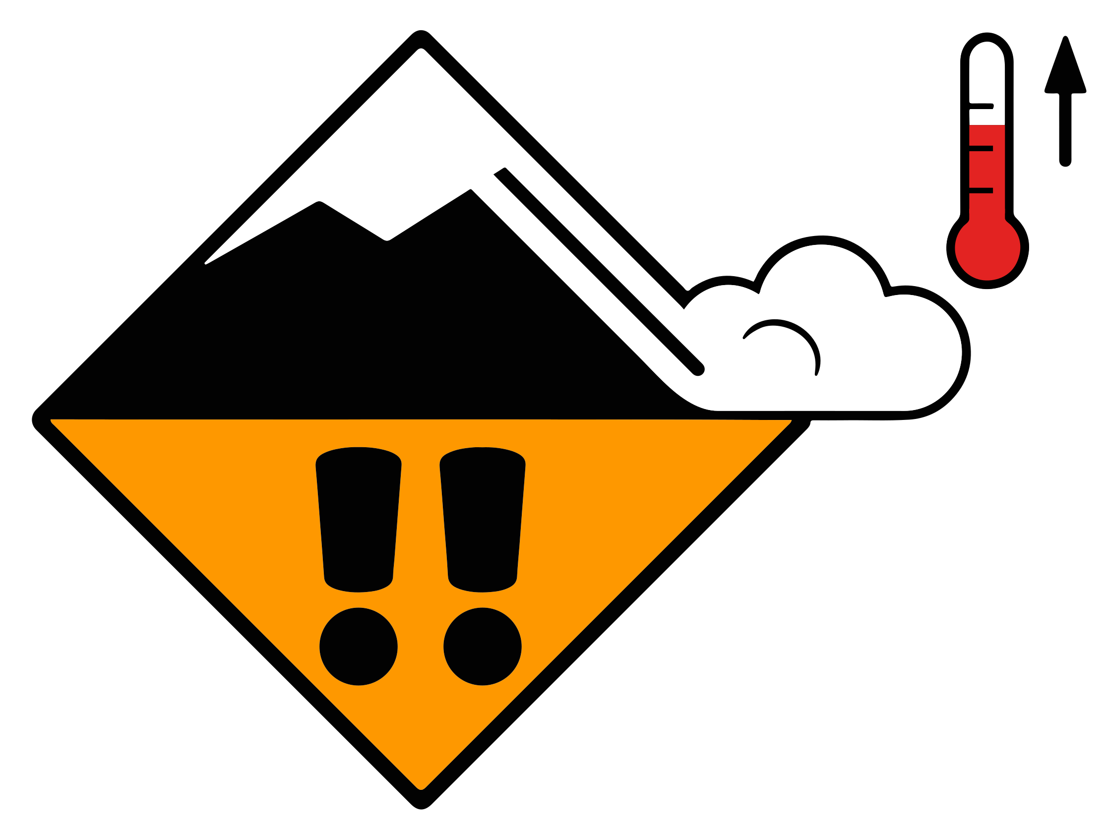 Wet snow
3
Field notes
Rolling snowballs, deep penetration when you step or ski, and small natural slides are clear signals that the Snow deposited on the ground in a multiplicity of layers.EAWS glossary is losing strength. After a clear, cold night the surface often freezes into a strong supporting Layer of hard-compacted snow resulting from a melt-freeze process or wind.EAWS glossary, and conditions are favourable in the early morning. After a warm, overcast night, the problem may be present from the start of the day. Plan early returns and watch the runout zones below you.
Snowpack & Weather
Snowpack
With the mild weather, moistening of the Snow deposited on the ground in a multiplicity of layers.EAWS glossary is at an advanced stage. On south-facing slopes, the snowpack is moist up to around 3000 m, on east- and west-facing slopes up to 2500 to 2700 m, and on north-facing slopes up to around 2000 m. Initial moistening of near-ground Snowpack layer in which the crystals are poorly bonded and the layer has the potential to fail. Typical crystals in dry weak layers causing avalanches are : precipitation particles; surface hoar; faceted crystals; hollow crystals; graupel. Generally >1mm in size, loose grains with few bonds Wet weak layers can be formed by all snow crystal/grain types.EAWS glossary is now reaching around 2200 to 2400 m on north-facing slopes, and 2700 m on west- and east-facing slopes, and it is especially on these Direction in which a slope faces as indicated by compass direction of the fall line; i.e. a north slope faces in a northerly direction.EAWS glossary and at these altitudes that large and occasionally even very large wet The abrupt release of a slab of snow on a mountain slope. After crack initiation and crack propagation in a weak layer the released slab comprises 3 elements: The weak layer, the gliding horizon and the slab. If the slope angle is steep enough, the slab will glide down. If the slope is not steep enough, the slab will settle down on the failed weak layer. Possibly a whumpf sound will follow due to air pressed out of the weak layer. The fracture line will be sharp edged.EAWS glossary may be triggered naturally. The weak layers in the Snow layers deposited from earlier precipitation, prior to fresh fallen snow. Old snow layers consist of metamorphosed snow crystals.EAWS glossary in Grisons in particular are the least deeply buried, and it is here that wet slab avalanches are most likely also to be triggered by human activity. Distinctive noise (resembling a “whumpf” sound) occurring when a weak layer beneath a slab collapses. The air of the weak layer is forced outside the snowpack, with the resulting whumpf sound being heard. The sound usually indicates an unstable situation and can be accompanied by surface cracking. A whumpf is a clear avalanche alert.EAWS glossary sounds continue to be a possible indication of a weak snowpack.
At higher altitudes, where the Snow deposited on the ground in a multiplicity of layers.EAWS glossary is still dry, avalanches can in some places also still be triggered in the dry Snow layers deposited from earlier precipitation, prior to fresh fallen snow. Old snow layers consist of metamorphosed snow crystals.EAWS glossary or in layers closer to the surface.
Weather review for Thursday
Overnight to Thursday, skies were only occasionally clear. During the day, conditions were mostly sunny in the high mountains and towards the south and increasingly sunny elsewhere.
Fresh snow
-
Temperature
At midday at 2000 m, between +8 °C in the west and south and +3 °C in the east
Wind
- Overnight to Thursday, moderate westerly at times at high altitudes
- Mostly light during the day
Weather forecast to Friday
Skies will be clear overnight to Friday, and during the day conditions will be mostly sunny with high cloud developing as the day progresses and some cumulus clouds in the afternoon.
Fresh snow
-
Temperature
At midday at 2000 m, around +6 °C
Wind
Light from northerly directions
Outlook to Sunday
The night to Saturday will mostly be clear. During the day, conditions will be mostly sunny with cumulus clouds in the afternoon and scattered showers. The zero-degree level will remain at around 3000 m. Skies will only occasionally be clear overnight to Sunday. During the day, there will be only occasional sunshine, with increasing showers in the north. The snowfall level will be around 2300 m.
The danger of dry avalanches will not change significantly. The avalanche situation will generally be favourable in the morning, but each day, the danger of wet avalanches will increase as the day progresses. Off-piste skiing and hut ascents should be completed in good time.