Vaud Alps
Bex-Villars
Avalanche Problems
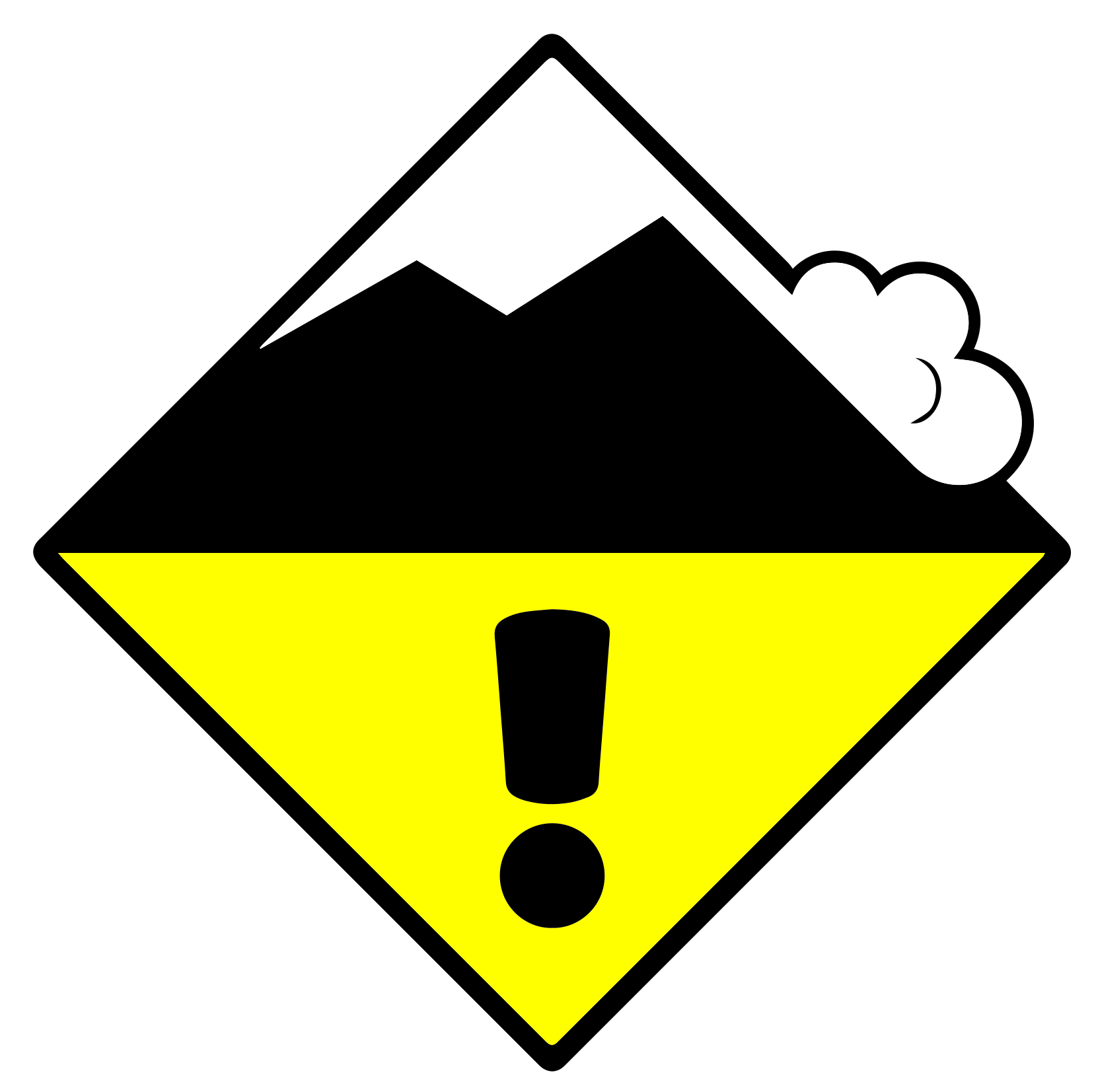 Wind slab + Persistent weak layers
2=
Field notes
Wind slab
Look for fresh snow deposits on Slope facing downwind/ wind sheltered aspect. Snow deposits can attain several times average snow depth.EAWS glossary, in Usually a steep, elongated, eroded trench; typically prone to snowdrift accumulation.EAWS glossary and Rounded or elongated concavity; typically tending to accumulate snowdrift.EAWS glossary, and behind ridgelines and abrupt changes in terrain — these are where the wind has loaded the snow into slabs that are easy to trigger. Recent avalanches, shooting cracks under your weight, and Distinctive noise (resembling a “whumpf” sound) occurring when a weak layer beneath a slab collapses. The air of the weak layer is forced outside the snowpack, with the resulting whumpf sound being heard. The sound usually indicates an unstable situation and can be accompanied by surface cracking. A whumpf is a clear avalanche alert.EAWS glossary sounds are clear confirmations of the problem. The safest move is to avoid wind-loaded terrain entirely. NB wind signs alone don't always mean an avalanche problem exists, and the age of drifted snow is hard to judge.
Persistent weak layers
Persistent Snowpack layer in which the crystals are poorly bonded and the layer has the potential to fail. Typical crystals in dry weak layers causing avalanches are : precipitation particles; surface hoar; faceted crystals; hollow crystals; graupel. Generally >1mm in size, loose grains with few bonds Wet weak layers can be formed by all snow crystal/grain types.EAWS glossary are very challenging to recognise. Distinctive noise (resembling a “whumpf” sound) occurring when a weak layer beneath a slab collapses. The air of the weak layer is forced outside the snowpack, with the resulting whumpf sound being heard. The sound usually indicates an unstable situation and can be accompanied by surface cracking. A whumpf is a clear avalanche alert.EAWS glossary sounds and shooting cracks are typical when present, but you can have a serious weak layer with no warning signs at the surface. Knowledge of how the Snow deposited on the ground in a multiplicity of layers.EAWS glossary has evolved is essential. SLF's travel advice is direct: travel conservatively, avoid terrain where the consequences of being caught are large, and treat the history of weather and snow as more important than what you can see today. Read the full bulletin.
 Gliding snow
1
Field notes
Almost impossible to predict precisely, even when the warning signs are visible. A crack visible on the snowpack surface formed by snow-gliding on steep, and particularly grass-covered slopes. Areas below slopes with visible glide cracks should be avoided whenever possible due to threat of gliding sluffs or avalanches.EAWS glossary — gaps that open in the Snow deposited on the ground in a multiplicity of layers.EAWS glossary down to the ground — are often precursors to release, but they don't tell you when. A glide avalanche can release minutes after the cracks appear, or weeks later, or not at all. Some release without any visible warning. Avoid lingering anywhere near glide cracks: above them, alongside them, or below in the runout.
Snowpack & Weather
Snowpack
Especially on shady slopes above approximately 2400 m and generally in Areas above approximately 3000 m (particularly glaciated areas).EAWS glossary, there are faceted, long-lasting Snowpack layer in which the crystals are poorly bonded and the layer has the potential to fail. Typical crystals in dry weak layers causing avalanches are : precipitation particles; surface hoar; faceted crystals; hollow crystals; graupel. Generally >1mm in size, loose grains with few bonds Wet weak layers can be formed by all snow crystal/grain types.EAWS glossary deep in the Snow layers deposited from earlier precipitation, prior to fresh fallen snow. Old snow layers consist of metamorphosed snow crystals.EAWS glossary. In many places in western and northern regions with heavy snow, these layers are overlaid with deep fresh snow and so can no longer be easily triggered by winter sports participants. Avalanches triggered in the last few days show that any avalanches that are triggered in these deep layers can still become large, while in other regions with markedly less snow, avalanches can more easily be triggered in deep layers of old snow, where they are usually no greater than medium size.
On Tuesday, moderate to occasionally strong southerly winds at high altitudes and in regions of the north exposed to the foehn wind resulted in mostly small snowdrift accumulations, which are in some cases nonetheless prone to triggering.
Gliding avalanche activity is decreasing, but in the west and on the northern flank of the Alps, small to medium gliding avalanches are still possible.
Weather review for Tuesday
On the central part of the southern flank of the Alps and from Upper Valais through central Switzerland to central Grisons, it was mostly very cloudy; elsewhere it was very sunny, especially in the west and east.
Fresh snow
A few flakes on the southern flank of the Alps
Temperature
At midday at 2000 m a widespread -2 °C
Wind
Southerly
- moderate at high altitudes, occasionally strong in regions exposed to the foehn wind
- generally decreasing over the course of the day
Weather forecast to Wednesday
There will be sunny intervals in the mountains in the west, while in the east it will be quite sunny. Conditions will be mostly very cloudy on the Main Alpine Ridge and south of there.
Fresh snow
A few flakes are possible on the Main Alpine Ridge and south of there as well as in the Jura.
Temperature
At midday at 2000 m, between -1 °C in the north and -3 °C in the south
Wind
From southerly directions:
- often moderate on the Main Alpine Ridge and the Northern Alpine Ridge
- elsewhere mostly light
Outlook
On Thursday there will be low stratus cloud in the north up to around 1000 m, with sunny intervals above it. Conditions will be very cloudy on the southern flank of the Alps, with a little snow falling above approximately 1200 m. Winds will be mostly moderate from southerly directions at high altitudes. On Friday, there will be variable cloud cover in the north with bright intervals primarily in the Bernese Oberland and Valais. On the southern flank of the Alps, conditions will be mostly sunny over the course of the day. There will be up to 5 cm of snowfall in many regions. The wind will be a moderate northerly, especially along the Main Alpine Ridge. Otherwise winds will be mostly light.
Avalanche risk will not change significantly. Some small, easily triggerable snowdrifts will form in places. Avalanches, possibly large, may still be triggered in places in the Snow layers deposited from earlier precipitation, prior to fresh fallen snow. Old snow layers consist of metamorphosed snow crystals.EAWS glossary, especially on steep north-facing slopes at high altitudes. Isolated gliding avalanches are possible in regions with deep snow in the west and north.