Avalanche danger • Karnische Alpen Osttirol region • 2025/26
Link copied
Lienz Dolomites
Karnische Alpen Osttirol
Sat 18 Apr
Avalanche Problems
Moderate
(2)
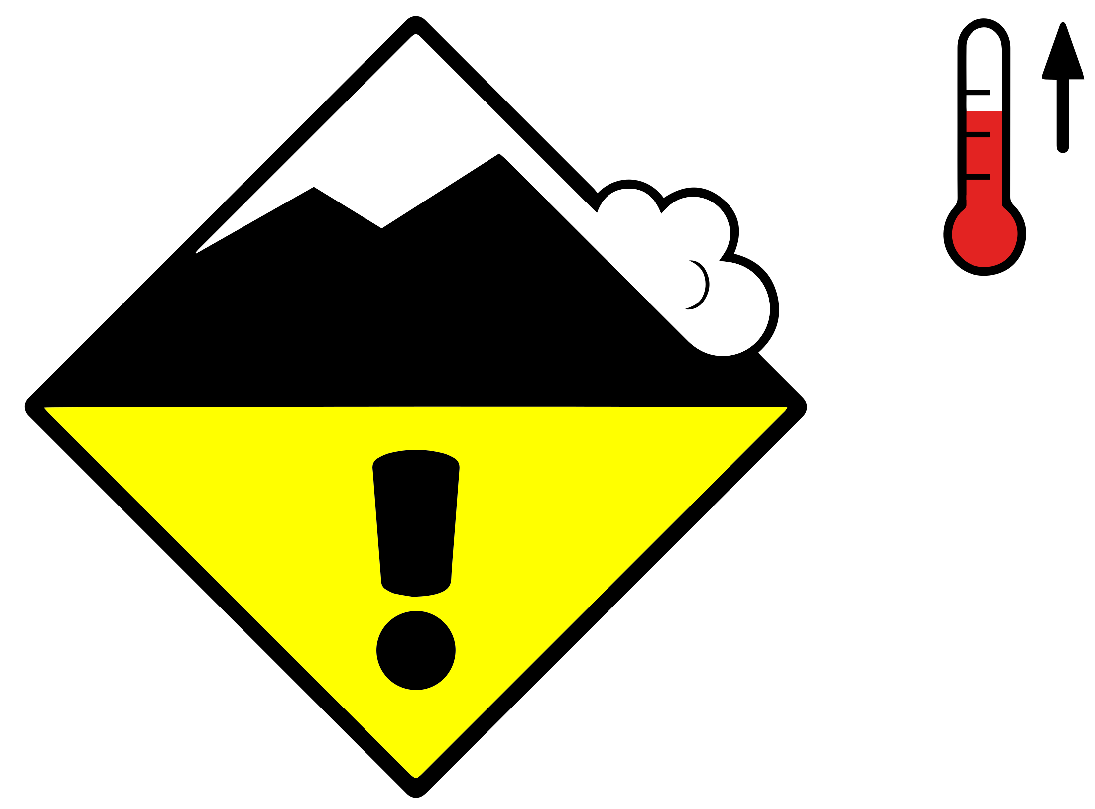
Wet avalanches, later
Wet snowSlab2
N, NE, NW
MediumFewVery poor
GM.10
Field notes▾
Rolling snowballs, deep penetration when you step or ski, and small natural slides are clear signals that the Snow deposited on the ground in a multiplicity of layers.EAWS glossary is losing strength. After a clear, cold night the surface often freezes into a strong supporting Layer of hard-compacted snow resulting from a melt-freeze process or wind.EAWS glossary, and conditions are favourable in the early morning. After a warm, overcast night, the problem may be present from the start of the day. Plan early returns and watch the runout zones below you.
Individual avalanche prone locations for wet avalanches are to be found in particular on very steep shady slopes.
As the day progresses the likelihood of wet avalanches being released will increase. In the regions where the outgoing longwave radiation during the night is reduced the danger will increase earlier. As the penetration by moisture increases individual wet The abrupt release of a slab of snow on a mountain slope. After crack initiation and crack propagation in a weak layer the released slab comprises 3 elements: The weak layer, the gliding horizon and the slab. If the slope angle is steep enough, the slab will glide down. If the slope is not steep enough, the slab will settle down on the failed weak layer. Possibly a whumpf sound will follow due to air pressed out of the weak layer. The fracture line will be sharp edged.EAWS glossary are possible as the day progresses. This applies in particular in case of releases originating from high-altitude shady starting zones that have retained the snow thus far, especially between approximately 2200 and 2600 m. In isolated cases avalanches are medium-sized. Avalanches can release the wet Snow deposited on the ground in a multiplicity of layers.EAWS glossary. This extends the avalanche runout distances.
Outlook
→Constant avalanche danger
19 April 2026
The danger of wet avalanches will persist.
Snowpack & Weather
Snowpack▾
During the night the weather will be partly cloudy in some regions. This applies in particular in the east. The Snow deposited on the ground in a multiplicity of layers.EAWS glossary is wet and its surface has a Layer of hard-compacted snow resulting from a melt-freeze process; increases firmness.EAWS glossary. The surface of the snowpack will soften quickly. In particular on steep sunny slopes as well as below approximately 1800 m only a little snow is now lying.
Snowdesk needs a refreshIt couldn't update itself. Reload to finish.ReloadDismissUpdating…Updating SnowdeskApplying the new version — the page will reload in a moment.
Update required
This version of Snowdesk is no longer supported. Reload to continue.
Install Snowdesk
Add Snowdesk to your home screen for one-tap access and a full-screen map. Downloaded areas read without a signal either way.
Add Snowdesk to your Home Screen
Tap the Share icon, then choose Add to Home Screen. Snowdesk then opens full screen. Downloaded areas read without a signal either way.
Reset local data
Snowdesk needs to reset local data on this device to keep working. Your
account and everything saved to it are stored on the server and are not affected.
Some changes couldn't be saved and won't be retried.
Snowdesk has not been saved on this device yet, so switching Offline mode on will stop it
opening at all until you switch it off again.
Switch it on anyway?Custom area %(n)sGetting ready…Getting ready… (%(n)s of %(total)s)Ready — %(total)s areas up to dateReady — 1 area up to date%(ready)s of %(total)s ready%(n)s changes still waiting to send1 change still waiting to sendBulletins from %(day)s%(metres)s m altitudeNo bulletin coverage for this location.Rating expired — reconnect to see today's danger levelas of %(time)sShowing cached data — as of %(time)s