Showing Sun 12 Apr 2026 Back to today

Lechtal Alps Central

Lechtaler Alpen Mitte

Sun 12 Apr

Day Risk Profile

Considerable
below 3000m
Moderate
above 3000m

Avalanche Problems

Below 3000 m

Considerable (3) Wet avalanches · all day
Wet snow level 3 Wet snow Slab 3
All aspects
below 3000m
Large Some Very poor
GM.10 GM.1
Field notes

Rolling snowballs, deep penetration when you step or ski, and small natural slides are clear signals that the Snow deposited on the ground in a multiplicity of layers.EAWS glossary is losing strength. After a clear, cold night the surface often freezes into a strong supporting Layer of hard-compacted snow resulting from a melt-freeze process or wind.EAWS glossary, and conditions are favourable in the early morning. After a warm, overcast night, the problem may be present from the start of the day. Plan early returns and watch the runout zones below you.

Source: SLF Avalanche Bulletin Interpretation Guide

Above 2400 m

Low (1) Dry avalanches · all day
Dry snow level 1 Persistent weak layers Slab 1
N, NE, E, W, NW
above 2400m
Large Few Poor
GM.10 GM.1
Field notes

Persistent Snowpack layer in which the crystals are poorly bonded and the layer has the potential to fail. Typical crystals in dry weak layers causing avalanches are : precipitation particles; surface hoar; faceted crystals; hollow crystals; graupel. Generally >1mm in size, loose grains with few bonds Wet weak layers can be formed by all snow crystal/grain types.EAWS glossary are very challenging to recognise. Distinctive noise (resembling a “whumpf” sound) occurring when a weak layer beneath a slab collapses. The air of the weak layer is forced outside the snowpack, with the resulting whumpf sound being heard. The sound usually indicates an unstable situation and can be accompanied by surface cracking. A whumpf is a clear avalanche alert.EAWS glossary sounds and shooting cracks are typical when present, but you can have a serious weak layer with no warning signs at the surface. Knowledge of how the Snow deposited on the ground in a multiplicity of layers.EAWS glossary has evolved is essential. SLF's travel advice is direct: travel conservatively, avoid terrain where the consequences of being caught are large, and treat the history of weather and snow as more important than what you can see today. Read the full bulletin.

Source: SLF Avalanche Bulletin Interpretation Guide

Avalanche Activity

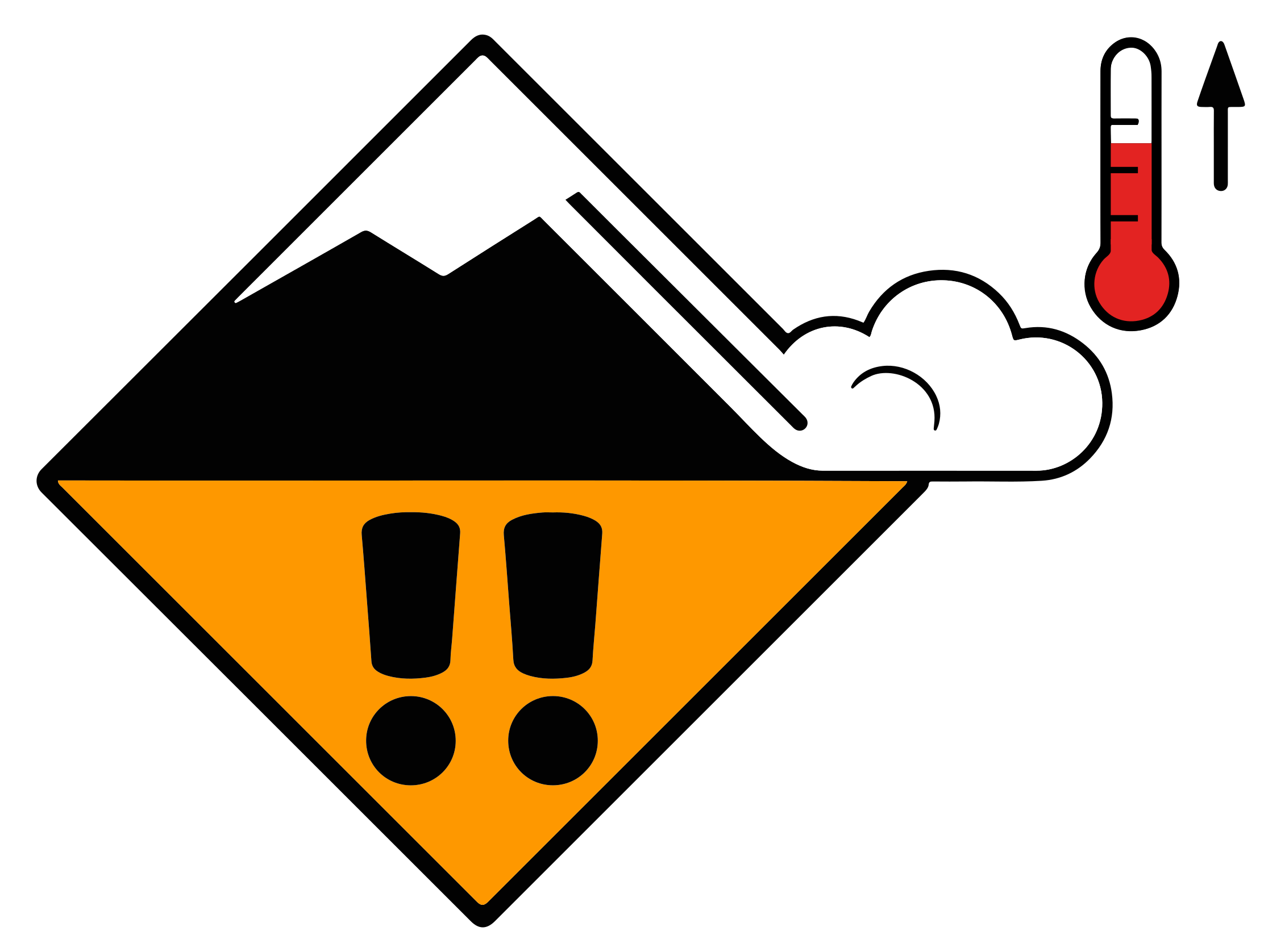
The danger of moist and wet avalanches will already be elevated in the early morning.

The danger of moist and wet avalanches will already be elevated in the early morning. As the day progresses as a consequence of warming during the day and solar radiation there will be an additional increase in the danger. This applies in all Direction in which a slope faces as indicated by compass direction of the fall line; i.e. a north slope faces in a northerly direction.EAWS glossary below approximately 2400 m, as well as on very steep sunny slopes below approximately 3000 m. Avalanches can penetrate deep layers and reach large size. Individual Locations delineated by aspect or altitude where avalanches can trigger and people or objects are at risk.EAWS glossary for dry avalanches are to be found on very steep shady slopes above approximately 2400 m. Such avalanche prone locations are difficult to recognise. Especially transitions from a shallow to a deep Snow deposited on the ground in a multiplicity of layers.EAWS glossary are unfavourable. In addition the fresh wind slabs in Areas above approximately 3000 m (particularly glaciated areas).EAWS glossary are prone to triggering in some cases, especially adjacent to ridgelines on very steep shady slopes. Wind slabs are mostly small.

Outlook

Increasing avalanche danger

13 April 2026

As a consequence of mild temperatures and very cloudy skies the snowpack can not consolidate during the night. Up to high altitudes rain will fall on Monday in particular in the south. As a consequence of the rain, the likelihood of wet avalanches being released will increase in particular on steep shady slopes below approximately 2500 m.

Snowpack & Weather

Snowpack
The surface of the Snow deposited on the ground in a multiplicity of layers.EAWS glossary will cool hardly at all during the overcast night. Sunshine and high temperatures will give rise as the day progresses to increasing and thorough wetting of the snowpack. This applies in all Direction in which a slope faces as indicated by compass direction of the fall line; i.e. a north slope faces in a northerly direction.EAWS glossary below approximately 2400 m, as well as on sunny slopes at elevated altitudes. Isolated avalanche prone Snowpack layer in which the crystals are poorly bonded and the layer has the potential to fail. Typical crystals in dry weak layers causing avalanches are : precipitation particles; surface hoar; faceted crystals; hollow crystals; graupel. Generally >1mm in size, loose grains with few bonds Wet weak layers can be formed by all snow crystal/grain types.EAWS glossary exist in the top section of the Snow layers deposited from earlier precipitation, prior to fresh fallen snow. Old snow layers consist of metamorphosed snow crystals.EAWS glossary. Towards its base, the snowpack consists of Snow grains, solid, with multiple flat glassy faces and sharp edges. Developed from faceting metamorphism, usually poorly bonded to one another (fewer contact points), a critical factor in avalanches if a faceted layer is covered with bonded snow. Typical grain size: 0.5 to 3 mm See also: www.snowcrystals.itEAWS glossary. This applies in particular on west, north and east facing slopes at high altitude, as well as in all aspects in Areas above approximately 3000 m (particularly glaciated areas).EAWS glossary.

Source

ALBINA

Issued

11 Apr 15:00 UTC

Valid until

12 Apr 15:00 UTC

Next update

—

See this region on the map