Avalanche danger • Lechtaler Alpen Mitte region • 2025/26
Link copied
Lechtal Alps Central
Lechtaler Alpen Mitte
Tue 24 Feb
Updated off-schedule
The provider reissued this bulletin at 24 Feb 07:42 UTC, outside the normal publication cycle.
Day Risk Profile
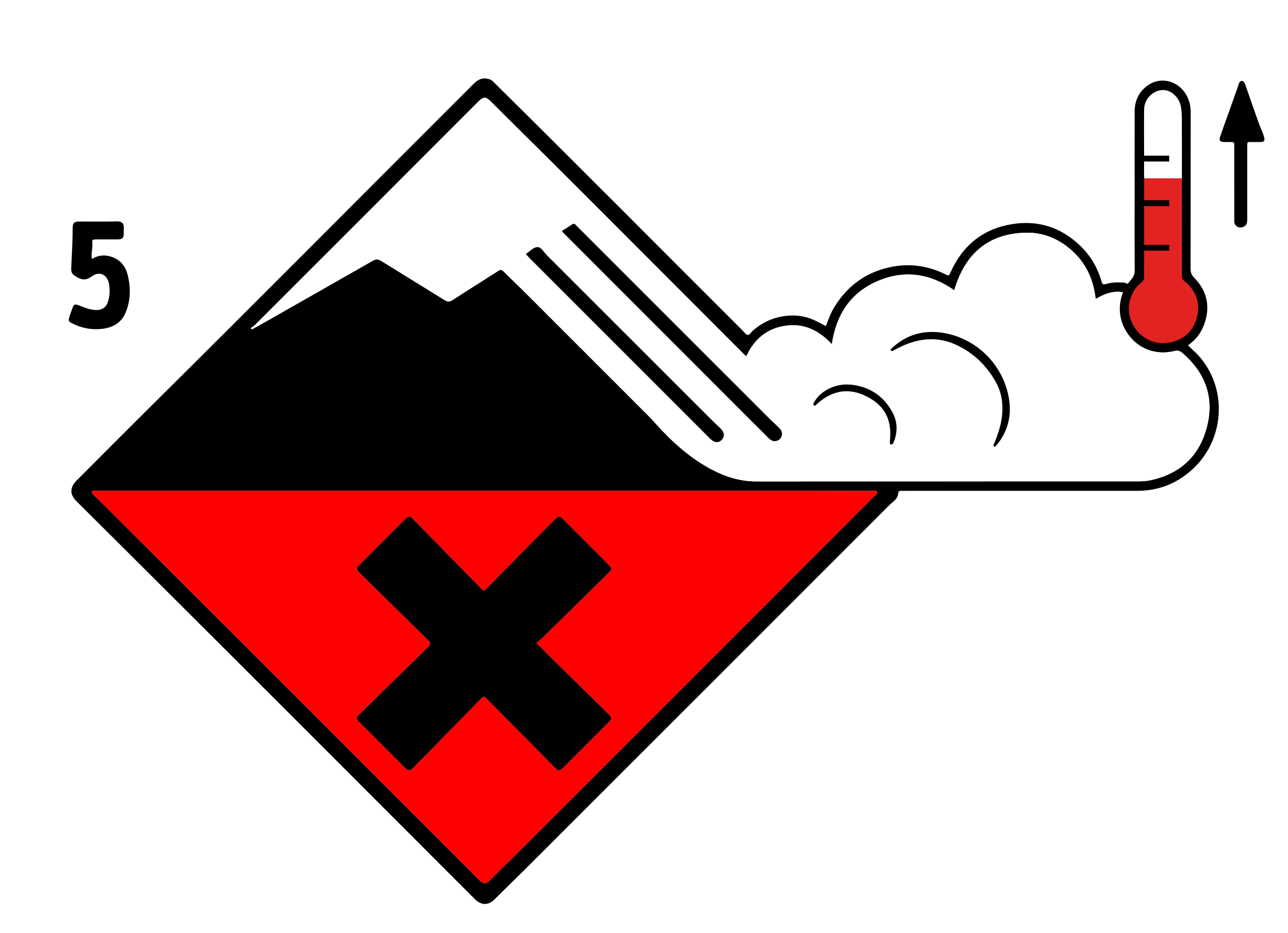
3
Considerable
below treeline
4
High
above treeline
Avalanche Problems
Above treeline
High
(4)
Dry avalanches
· all day
Persistent weak layersSlab4
N, NE, E, W, NW
above treeline
LargeManyPoor
GM.7GM.3
Field notes▾
Persistent Snowpack layer in which the crystals are poorly bonded and the layer has the potential to fail. Typical crystals in dry weak layers causing avalanches are : precipitation particles; surface hoar; faceted crystals; hollow crystals; graupel. Generally >1mm in size, loose grains with few bonds Wet weak layers can be formed by all snow crystal/grain types.EAWS glossary are very challenging to recognise. Distinctive noise (resembling a “whumpf” sound) occurring when a weak layer beneath a slab collapses. The air of the weak layer is forced outside the snowpack, with the resulting whumpf sound being heard. The sound usually indicates an unstable situation and can be accompanied by surface cracking. A whumpf is a clear avalanche alert.EAWS glossary sounds and shooting cracks are typical when present, but you can have a serious weak layer with no warning signs at the surface. Knowledge of how the Snow deposited on the ground in a multiplicity of layers.EAWS glossary has evolved is essential. SLF's travel advice is direct: travel conservatively, avoid terrain where the consequences of being caught are large, and treat the history of weather and snow as more important than what you can see today. Read the full bulletin.
Rolling snowballs, deep penetration when you step or ski, and small natural slides are clear signals that the Snow deposited on the ground in a multiplicity of layers.EAWS glossary is losing strength. After a clear, cold night the surface often freezes into a strong supporting Layer of hard-compacted snow resulting from a melt-freeze process or wind.EAWS glossary, and conditions are favourable in the early morning. After a warm, overcast night, the problem may be present from the start of the day. Plan early returns and watch the runout zones below you.
For those venturing off piste a dangerous avalanche situation will persist.
Large quantities of fresh snow and the wind-drifted snow of the last few days are lying on top of a weakly bonded Snow layers deposited from earlier precipitation, prior to fresh fallen snow. Old snow layers consist of metamorphosed snow crystals.EAWS glossary. Areas close to the tree line as well as above the tree line: Winter sport participants can release avalanches easily. Avalanches can in some cases penetrate deep layers and reach large size, in particular on west, north and east facing slopes. The Locations delineated by aspect or altitude where avalanches can trigger and people or objects are at risk.EAWS glossary are numerous. Individual avalanche prone locations are to be found also on southeast, south and southwest facing slopes above approximately 2600 m. Caution is to be exercised in particular in little used terrain, as well as at transitions from a shallow to a deep Snow deposited on the ground in a multiplicity of layers.EAWS glossary, when entering Usually a steep, elongated, eroded trench; typically prone to snowdrift accumulation.EAWS glossary and Rounded or elongated concavity; typically tending to accumulate snowdrift.EAWS glossary for example. Remotely triggered avalanches are possible. As a consequence of the rain, the likelihood of wet The abrupt release of a slab of snow on a mountain slope. After crack initiation and crack propagation in a weak layer the released slab comprises 3 elements: The weak layer, the gliding horizon and the slab. If the slope angle is steep enough, the slab will glide down. If the slope is not steep enough, the slab will settle down on the failed weak layer. Possibly a whumpf sound will follow due to air pressed out of the weak layer. The fracture line will be sharp edged.EAWS glossary being released will increase in all Direction in which a slope faces as indicated by compass direction of the fall line; i.e. a north slope faces in a northerly direction.EAWS glossary below approximately 2000 m. In particular on very steep west, north and east facing slopes the wet avalanches can penetrate even deep layers and reach large size in isolated cases. In addition gliding avalanches are possible. This applies especially on cut and grassy slopes below approximately 2000 m.
Outlook
→Constant avalanche danger
25 February 2026
Hardly any decrease in danger of dry avalanches. Gradual increase in danger of wet avalanches as a consequence of warming.
Snowpack & Weather
Snowpack▾
Tuesday: Up to 15 cm of snow, and even more in some localities, will fall above approximately 2000 m. Up to intermediate altitudes rain will fall. The wind will be strong to storm force in some cases. The Snow deposited on the ground in a multiplicity of layers.EAWS glossary will be prone to triggering. Large quantities of fresh snow and the wind-drifted snow of the last few days are bonding only slowly with the Snow layers deposited from earlier precipitation, prior to fresh fallen snow. Old snow layers consist of metamorphosed snow crystals.EAWS glossary. The various wind slabs have bonded insufficiently with each other and the old snowpack. Avalanche prone Snowpack layer in which the crystals are poorly bonded and the layer has the potential to fail. Typical crystals in dry weak layers causing avalanches are : precipitation particles; surface hoar; faceted crystals; hollow crystals; graupel. Generally >1mm in size, loose grains with few bonds Wet weak layers can be formed by all snow crystal/grain types.EAWS glossary exist in the bottom section of the snowpack on west, north and east facing slopes. The rain gave rise to softening of the snowpack at low and intermediate altitudes.
Snowdesk needs a refreshIt couldn't update itself. Reload to finish.ReloadDismissUpdating…Updating SnowdeskApplying the new version — the page will reload in a moment.
Update required
This version of Snowdesk is no longer supported. Reload to continue.
Install Snowdesk
Add Snowdesk to your home screen for one-tap access and a full-screen map. Downloaded areas read without a signal either way.
Add Snowdesk to your Home Screen
Tap the Share icon, then choose Add to Home Screen. Snowdesk then opens full screen. Downloaded areas read without a signal either way.
Reset local data
Snowdesk needs to reset local data on this device to keep working. Your
account and everything saved to it are stored on the server and are not affected.
Some changes couldn't be saved and won't be retried.
Snowdesk has not been saved on this device yet, so switching Offline mode on will stop it
opening at all until you switch it off again.
Switch it on anyway?Custom area %(n)sGetting ready…Getting ready… (%(n)s of %(total)s)Ready — %(total)s areas up to dateReady — 1 area up to date%(ready)s of %(total)s ready%(n)s changes still waiting to send1 change still waiting to sendBulletins from %(day)s%(metres)s m altitudeNo bulletin coverage for this location.Rating expired — reconnect to see today's danger levelas of %(time)sShowing cached data — as of %(time)s