Showing Thu 9 Apr 2026 Back to today

Brandenberg Alps

Brandenberger Alpen

Thu 9 Apr

Avalanche Problems

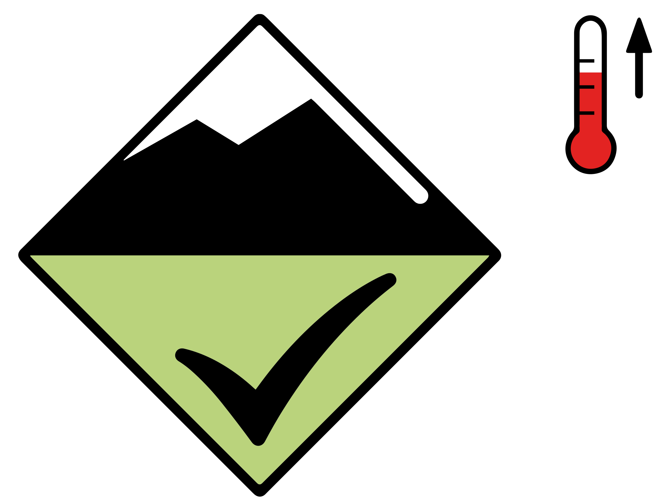
Low (1) Wet avalanches, earlier
Wet snow level 1 Wet snow Loose 1
All aspects
Medium Poor
GM.10 GM.1
Field notes

Rolling snowballs, deep penetration when you step or ski, and small natural slides are clear signals that the Snow deposited on the ground in a multiplicity of layers.EAWS glossary is losing strength. After a clear, cold night the surface often freezes into a strong supporting Layer of hard-compacted snow resulting from a melt-freeze process or wind.EAWS glossary, and conditions are favourable in the early morning. After a warm, overcast night, the problem may be present from the start of the day. Plan early returns and watch the runout zones below you.
Source: SLF Avalanche Bulletin Interpretation Guide

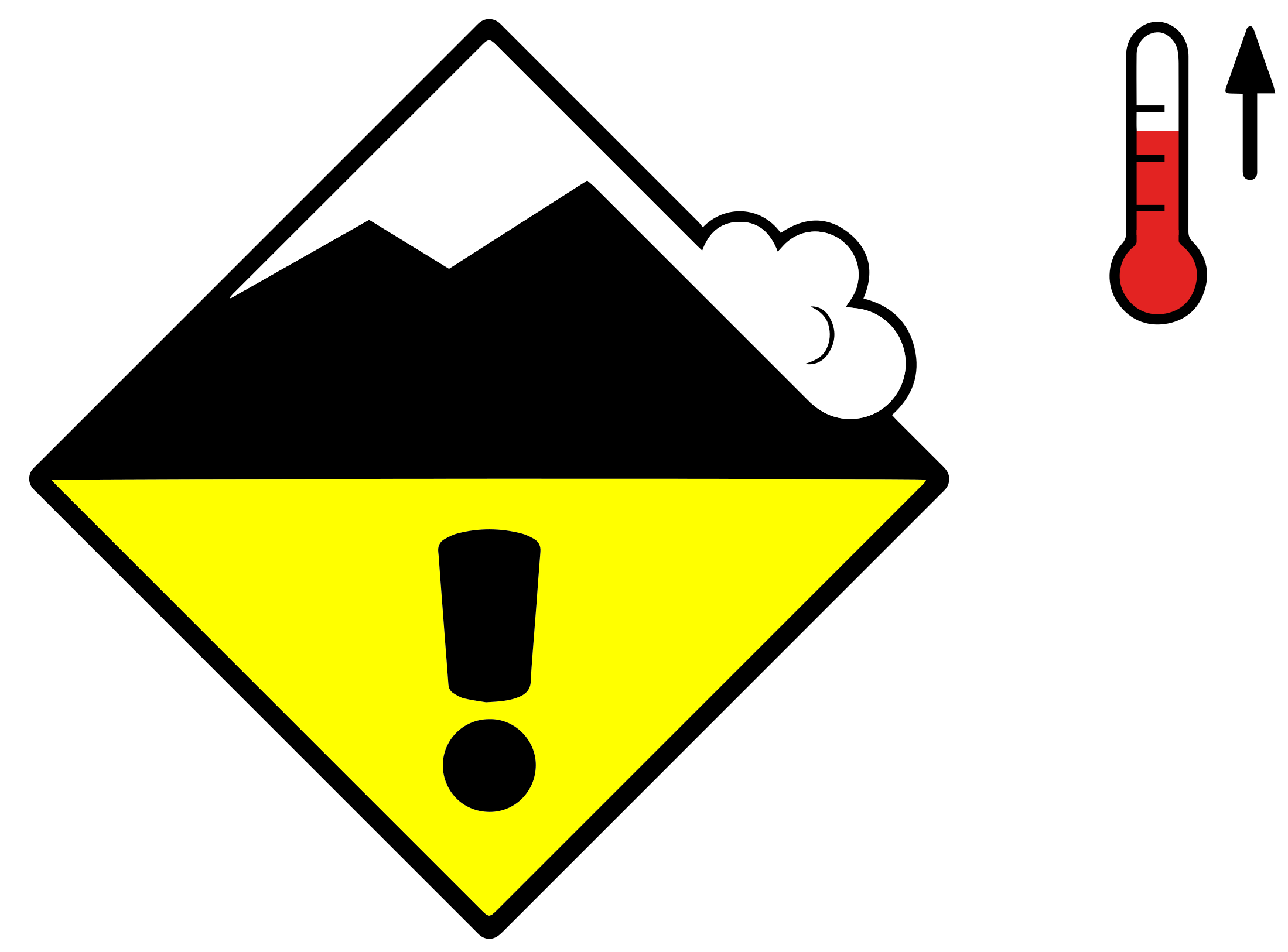
Moderate (2) Wet avalanches, later
Wet snow level 2 Wet snow Loose 2
All aspects
Medium Some Poor
GM.10 GM.1
Field notes

Rolling snowballs, deep penetration when you step or ski, and small natural slides are clear signals that the Snow deposited on the ground in a multiplicity of layers.EAWS glossary is losing strength. After a clear, cold night the surface often freezes into a strong supporting Layer of hard-compacted snow resulting from a melt-freeze process or wind.EAWS glossary, and conditions are favourable in the early morning. After a warm, overcast night, the problem may be present from the start of the day. Plan early returns and watch the runout zones below you.

Source: SLF Avalanche Bulletin Interpretation Guide

Avalanche Activity

Slight increase in avalanche danger in the course of the day. Weak layers in the old snowpack can be released in some places by individual winter sport participants.

As the day progresses the likelihood of moist and wet avalanches being released will increase a little. This applies in all Direction in which a slope faces as indicated by compass direction of the fall line; i.e. a north slope faces in a northerly direction.EAWS glossary in particular below approximately 2400 m, as well as on very steep sunny slopes at elevated altitudes. Individual Locations delineated by aspect or altitude where avalanches can trigger and people or objects are at risk.EAWS glossary for dry avalanches are to be found on very steep shady slopes above approximately 2400 m. These avalanche prone locations are rare and are difficult to recognise. In steep terrain there is a danger of falling on the hard snow surface.

Outlook

Constant avalanche danger

10 April 2026

Outgoing longwave radiation during the night will be reduced. The avalanche danger will already be elevated in the early morning. This applies in particular below approximately 2400 m.

Snowpack & Weather

Snowpack
Outgoing longwave radiation during the night will be quite good. The surface of the Snow deposited on the ground in a multiplicity of layers.EAWS glossary has frozen to form a strong Layer of hard-compacted snow resulting from a melt-freeze process or wind.EAWS glossary only at high altitudes and will soften during the day. The snowpack will be wet all the way through. This applies in all Direction in which a slope faces as indicated by compass direction of the fall line; i.e. a north slope faces in a northerly direction.EAWS glossary at low and intermediate altitudes, as well as on steep sunny slopes at elevated altitudes. Towards its base, the snowpack consists of Snow grains, solid, with multiple flat glassy faces and sharp edges. Developed from faceting metamorphism, usually poorly bonded to one another (fewer contact points), a critical factor in avalanches if a faceted layer is covered with bonded snow. Typical grain size: 0.5 to 3 mm See also: www.snowcrystals.itEAWS glossary, especially on shady slopes at elevated altitudes.

Source

ALBINA

Issued

8 Apr 15:00 UTC

Valid until

9 Apr 15:00 UTC

Next update

—

See this region on the map