Brandenberg Alps
Brandenberger Alpen
Avalanche Problems
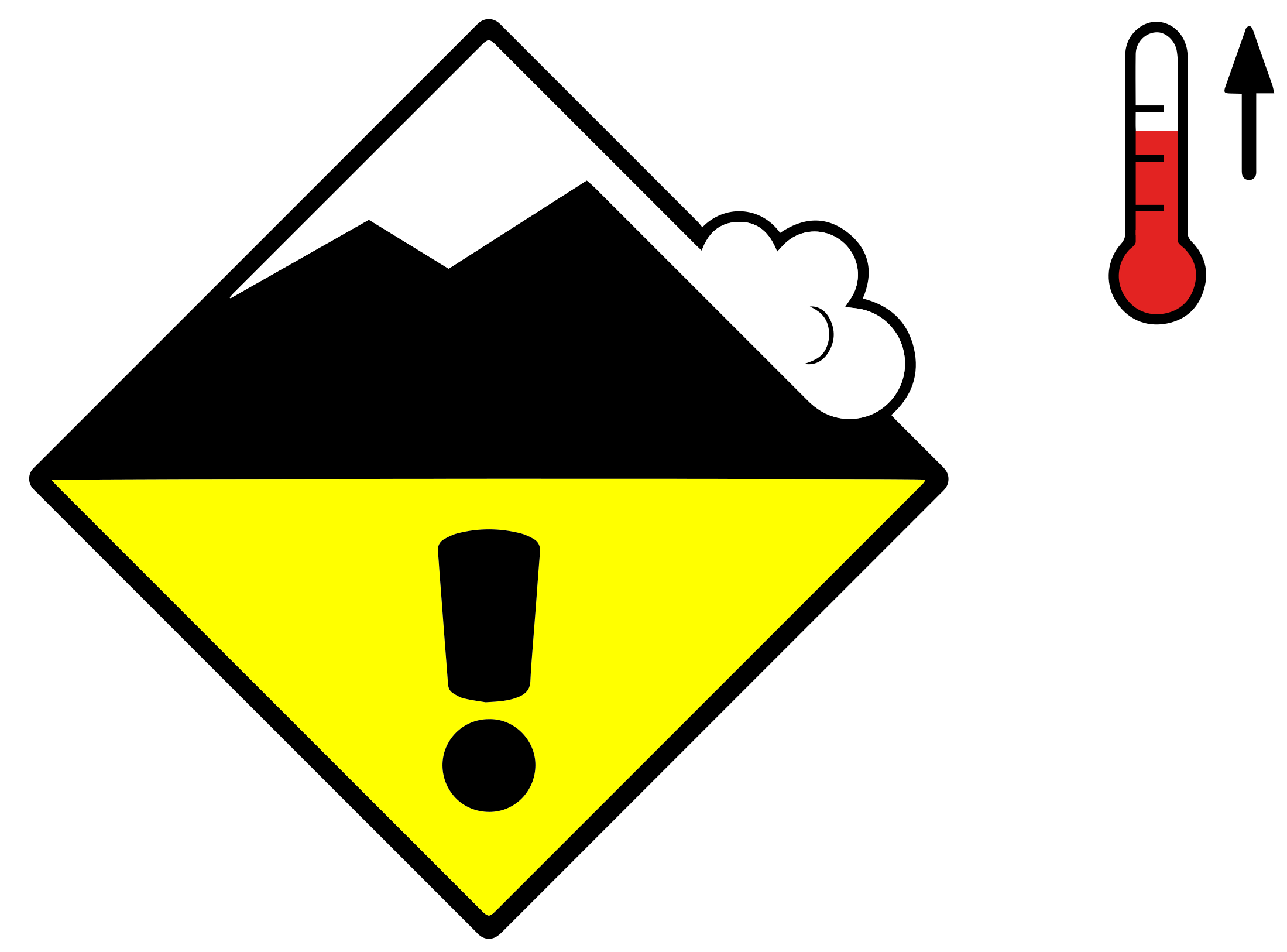 Gliding snow + Wet snow
Loose
2
Field notes
Gliding snow
Almost impossible to predict precisely, even when the warning signs are visible. A crack visible on the snowpack surface formed by snow-gliding on steep, and particularly grass-covered slopes. Areas below slopes with visible glide cracks should be avoided whenever possible due to threat of gliding sluffs or avalanches.EAWS glossary — gaps that open in the Snow deposited on the ground in a multiplicity of layers.EAWS glossary down to the ground — are often precursors to release, but they don't tell you when. A glide avalanche can release minutes after the cracks appear, or weeks later, or not at all. Some release without any visible warning. Avoid lingering anywhere near glide cracks: above them, alongside them, or below in the runout.
Wet snow
Rolling snowballs, deep penetration when you step or ski, and small natural slides are clear signals that the Snow deposited on the ground in a multiplicity of layers.EAWS glossary is losing strength. After a clear, cold night the surface often freezes into a strong supporting Layer of hard-compacted snow resulting from a melt-freeze process or wind.EAWS glossary, and conditions are favourable in the early morning. After a warm, overcast night, the problem may be present from the start of the day. Plan early returns and watch the runout zones below you.
Avalanche Activity
Wet and gliding snow represent the main danger. Thus far only a little snow is lying.
Outlook
Decreasing avalanche danger
9 December 2025
Gradual decrease in avalanche danger.